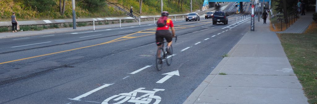
Several types of bikeway designs are used in the City of Toronto to improve cycling conditions. This information describes what these different bikeway designs mean for cyclists and motorists, and how the Bikeway Network Route System can be used by cyclists to navigate the city.
Bike lanes are a dedicated space for cyclists where motorists are not allowed to park, stand or drive. Bike lanes brochure (PDF)

Contra-flow bike lanes allow cyclists to travel in the opposite direction of motorized traffic on one-way streets. Cyclists riding in the same direction as motorized traffic should not ride in the contra-flow bike lane.

Sharrows are used in shared lanes to indicate the ideal cyclist position in the lane (away from the curb and parked cars) and to remind drivers to share the road. Sharrows are marked on the roadway with two white chevrons and a bicycle symbol.

Shared roadways (or signed routes) are designated by bikeway network signage as preferred routes for cycling, but no physical changes are made to the roadway. Shared roadways are usually found on residential streets with lower traffic volumes.

Off-road bike paths are physically separated from motorized vehicle traffic by open space or a barrier. Off-road paths are also known as 'multi-use paths' because they are often shared with pedestrians and in-line skaters. Major multi-use paths are paved, while minor ones are not. Learn about trail etiquette.

Bicycle actuated sigals are marked with three white dots on the pavement at intersections. To activate the traffic lights (from red to green), cyclists must come to a complete stop over the white dots. Learn more...

The Bikeway Network Route System
This Bikeway Network Route System helps cyclists navigate bicycle-friendly routes in the City. The System includes bikeways that are numbered and marked with pole-mounted signs along the street or path at intersections and decision points.
The Bikeway Network Route System is organized so that:
- North-south routes end in an odd number (1, 3, 5...). The numbering begins at the City's boundary with Mississauga.
- East-west routes end in an even number (2, 4, 6...). The numbering begins at Lake Ontario.
You will encounter the following types of bike route signs:
Confirmation
- Confirms number and direction of route
- Usually located on far side of major intersection
Bike route intersection
- Signs at intersecting bike routes advise cyclists on route options
Direction change
- Advises cyclist to make left/right turn to remain on bike route
