Ferry Tickets
Save time. Buy ferry tickets in advance. Purchase ferry tickets online.
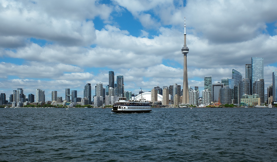
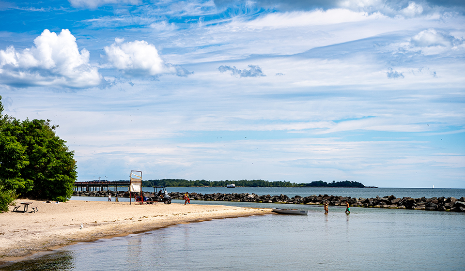
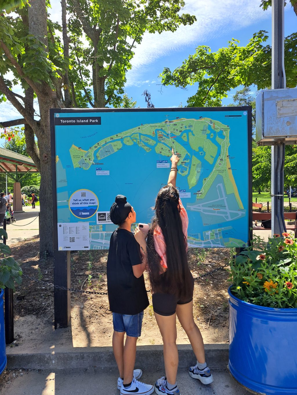
Toronto Island has long been a place of ecological and cultural significance. For thousands of years, it has been a site of healing, ceremony and gathering for the Mississaugas of the Credit First Nation and other Indigenous communities. Today, it remains a cherished public space and one of Toronto’s most beloved parks. Plan your trip and find everything you need to know about a day at the Island below.
Visit for assistance with first aid, lost people or items, located near Centre Island ferry dock.
June 29 to September 7
Daily
10 a.m. to 6 p.m.

Save time. Buy ferry tickets in advance. Purchase ferry tickets online.

Time your trip to and from the island. View Routes & Schedule.