Two planned parks coming to the Wilson District, adding 1.63 hectares (about the size of two soccer fields and five basketball courts) of new parkland. A new large 1.20-hectare park – roughly the size of a soccer field and 3 hockey rinks – is proposed to be located at the south end of the district. Another new park, 4,300 m2 in size – about the size of 3 hockey rinks – is proposed in the northeast corner of the district.
More information about the timeline for these projects will be added to this page as soon as it is available.
Sign up for or unsubscribe from updates related to the New Parks in Wilson District.
The Wilson District is a 44-hectare (18-acre) area located directly north of Wilson Avenue. The district is bordered by Dufferin Street to the west, and Wilson Station along with the Wilson TTC Training Centre to the east. The district currently houses a portion of the decommissioned airport runway and an airport service road, which is characterized as a large open area.
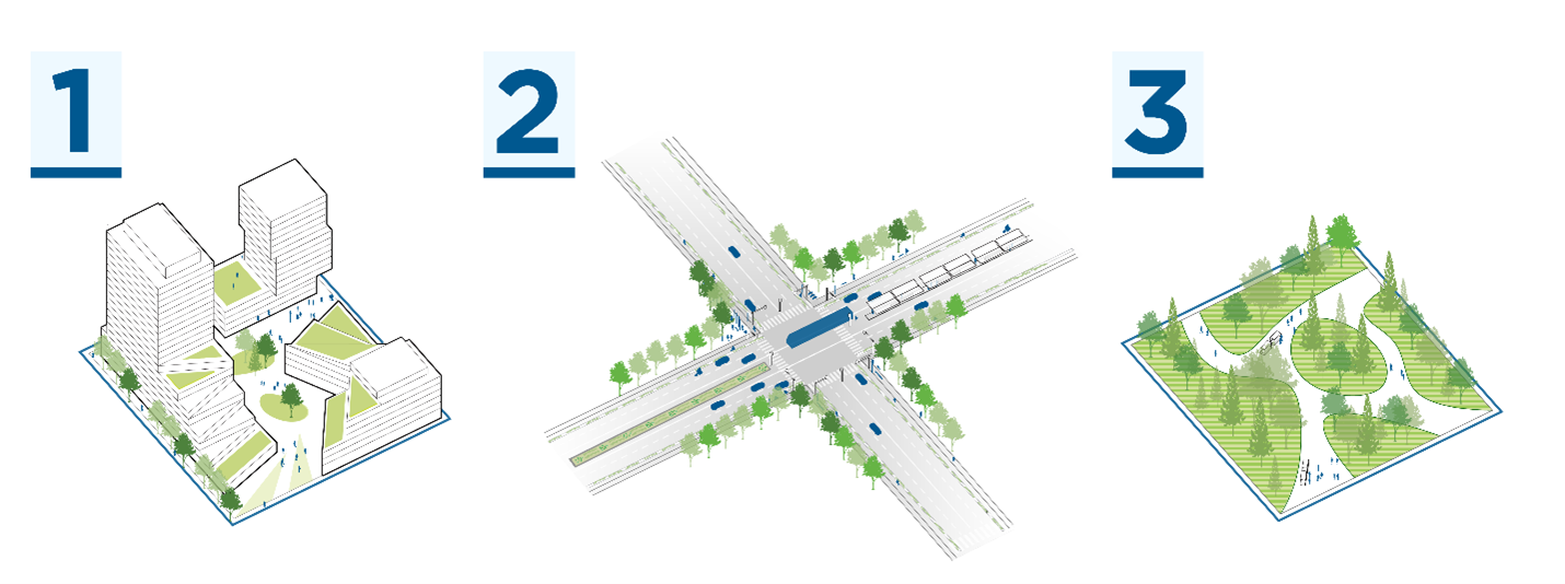
The vision for Wilson District focuses on creating a community with mixed-use employment, housing and retail, along with parks and public spaces. As part of the Downsview Secondary Plan, the district will integrate green infrastructure and facilities to manage stormwater. This approach will enhance climate resilience and support a sustainable, long-term future for the community.
New development in Downsview will feature an innovative, decentralized stormwater management system. This system uses solutions to temporarily hold rainwater, and infiltrate water to reduce how much enters the sewer system. This helps manage water that would otherwise flow directly into storm pipes and downstream, where it could lead to flooding and damage.
The decentralized stormwater management system will be in the large southern park. This park may include floodable recreational features and green infrastructure, such as a basketball court and a rain garden, that are designed to safely flood and drain following major rainstorms.
The stormwater management system in the district is interconnected.