To update the planning framework in the Council approved 2005 Scarborough Centre Secondary Plan to guide new growth anticipated with the construction of a new subway station as part of the Line 2 extension.
The Study will include:
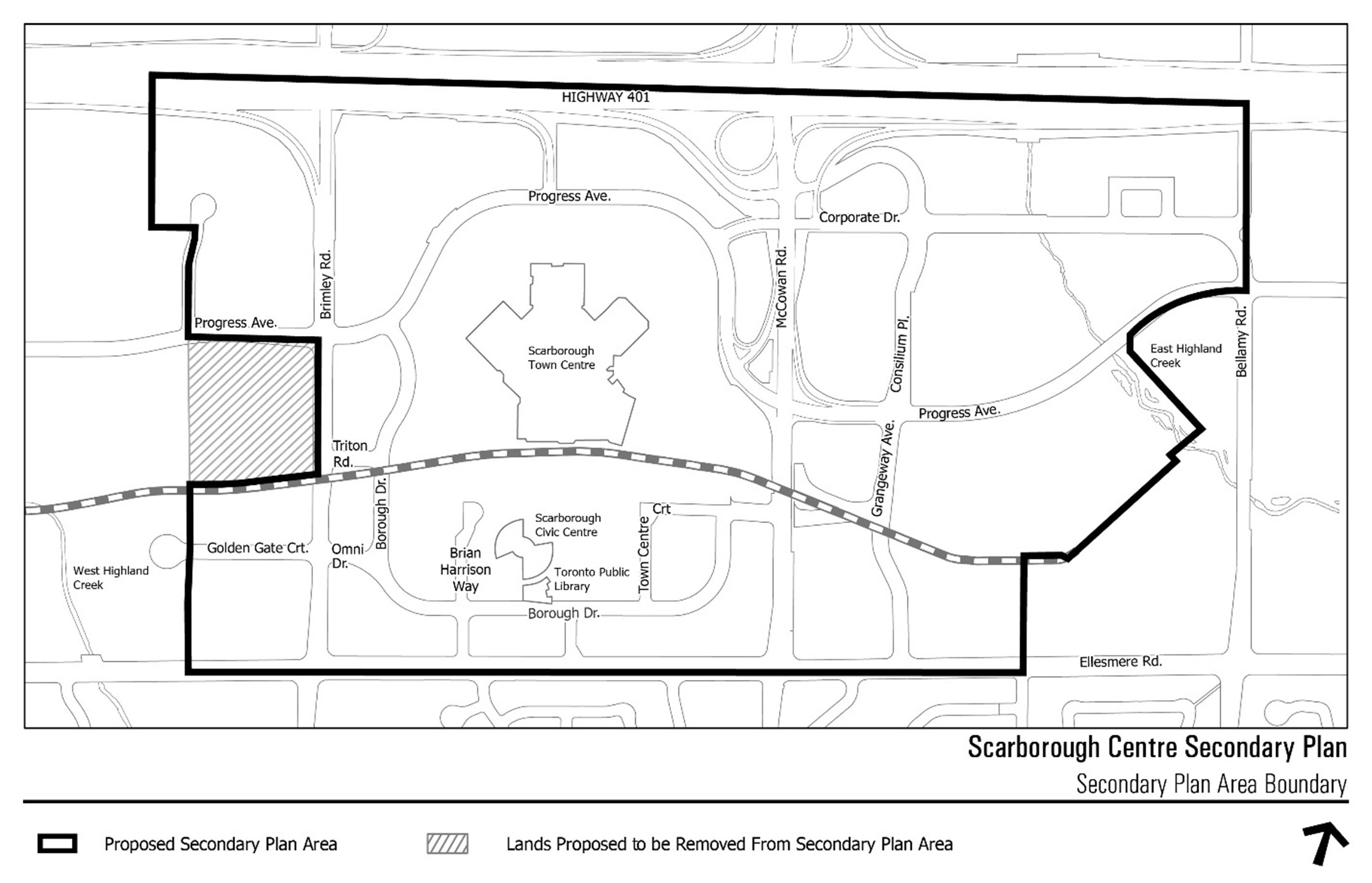
The Scarborough Centre Study area is generally bounded by Highway 401 to the north and Ellesmere Road to the south, with irregular boundaries extending just west of Brimley Road and eastward along Bellamy Road North, East Highland Creek, and the TTC McCowan Yard spur line. The study area is approximately 175 hectares (432 acres) in size.
The OurSC Study consisted of four phases and is complete.
Phase One: synthesize previous studies and establish an updated vision, planning principles, and preliminary public realm plan (completed April 2019);
Phase Two: analyse existing conditions, assess opportunities and constraints, refine the vision and guiding principles, and identify preliminary development concepts (completed October 2021);
Phase Three: test and analyze development concepts, including supporting infrastructure for anticipated growth, and develop draft public realm and built form strategies (completed March 2022); and
Phase Four: identify the preferred development concept and prepare draft amendments to the Official Plan, including the Secondary Plan policies and maps, as well as Urban Design Guidelines (completed March 2023).