
The City is reviewing existing policies, strategies, and guidelines applicable to Islington Village (the Village) to identify opportunities to reinforce the area’s main street character. The Planning Framework will focus on the pedestrian-oriented character of the Village, streetscape and public realm improvements, and opportunities for placemaking that enhance this character, while addressing new Provincial changes related to density around transit stations.
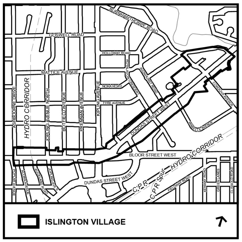
The draft Planning Framework boundary is generally defined by the properties fronting the north and south sides of Bloor Street West and Dundas Street West, between Poplar Avenue/Ashbourne Drive to the west and Burnhamthorpe Crescent to the east.
Please note that the boundary is still in draft form and is subject to change following consultation with the community and Ward Councillors.
A Status Report to provide a status update on the Islington Village Planning Framework, including information on the draft area of focus, scope, phasing, and timing, is targeted for July 7, 2026, Etobicoke York Community Council. The Status Report will be available on the City’s website for viewing when the agenda is posted: Etobicoke York Community Council – July 7, 2026, Agenda.
On May 13, 2024, Etobicoke York Community Council adopted Item 2024.EY13.17, which directed City Planning staff to conduct scoped review of existing Islington Village policies and guidelines, identify opportunities for placemaking, and recommend policy or guideline updates to better maintain the village character.
You can search for development applications within the surrounding area and across the City using the Application Information Centre (AIC).
Thank you for joining us at our first Community Consultation Meeting on May 13, 2026, and our Open House on June 8, 2026!
Engagement materials provided at both of these events, including the presentation slide deck and interactive poster boards, will be made available soon.
Visit the online engagement tool to share your feedback on the Islington Village Planning Framework. Share your feedback by September 30, 2026.