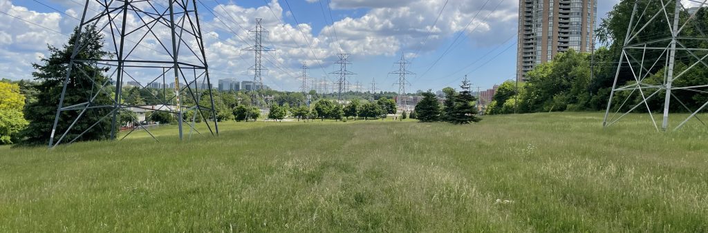
The Finch Corridor is a multi-use trail that stretches along the Finch hydro corridor from the Highway 400 in Etobicoke to Middlefield Road in Scarborough. The City of Toronto is conducting a feasibility study to explore options to close an approximately five kilometre gap in the trail between Pineway Boulevard and Pharmacy Avenue.
The study includes a technical feasibility analysis and development of potential bikeway design options. Potential routes will be assessed for safety and user comfort, connectivity, environmental impact, and construction and operating costs and complexities.
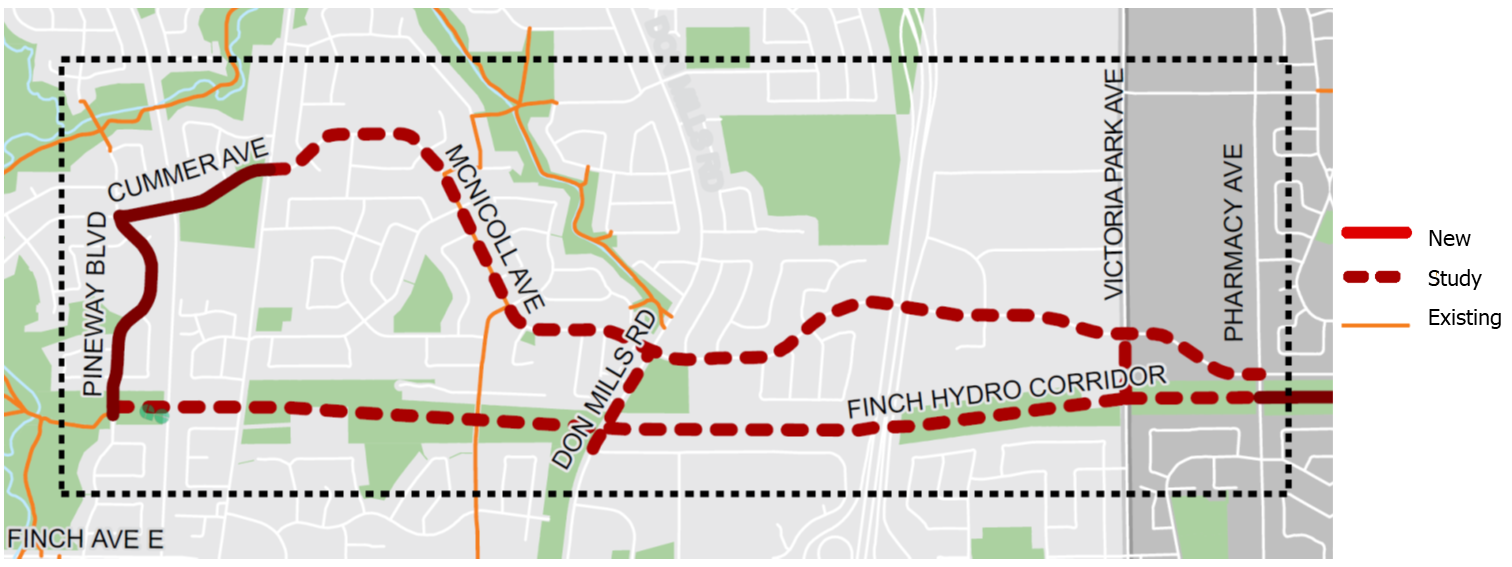
The Study Area is defined by the following boundaries: McNicoll Avenue to the north, Finch Hydro Corridor to the south, Pineway Boulevard to the west and Pharmacy Avenue to the east. The Finch Corridor Trail Gap is approximately 5 km in length.
While we aim to provide fully accessible content, there is no translation or text alternative available for some of the content on this page. If you require translation, alternate formats or need assistance understanding our maps, drawings or any other content, please contact us at 416-392-2990 or email Tracy.Manolakakis@toronto.ca.
Stage 1 – 2021-2023: Stage 1 involves development of the feasibility study and preliminary design options. This stage includes initial engagement with key agencies and landowners such as Seneca College, Metrolinx, Hydro One and the Ministry of Transportation. The feasibility study and preliminary design alternatives are expected to be complete by the end of 2023.
Stage 2 – 2024+: Once the study is complete, the City will confirm the preferred bikeway design option and develop detailed designs. This will be informed by what was found in Stage 1 and will include additional stakeholder engagement and public consultation (phases to be determined). Implementation will likely be carried out as phased approach, with some sections advancing ahead of others that may require further study and agency input. Implementation is also dependent on construction capacity and resources, and capital infrastructure coordination.
More information about Stage 2 (including opportunities to participate in public consultation) will be shared on this page when ready.
Please contact Rachel Yanchyshyn at Rachel.Yanchyshyn@toronto.ca to be added to the project list to receive updates by email, including information about opportunities to participate in public consultation.