Discover a wide range of programs, activities and spaces available in your community.
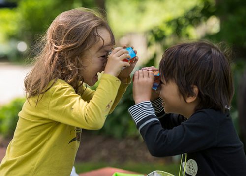
From cooking to dance, sports to camp, there is a recreation program for everyone.
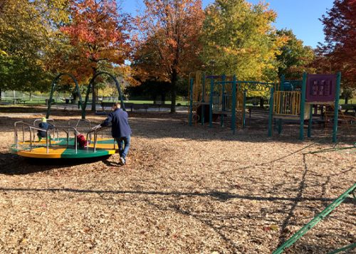
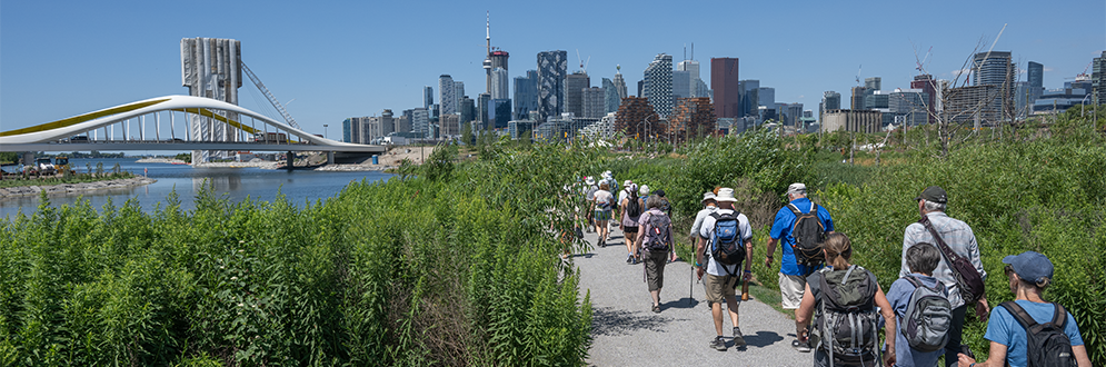
Toronto is home to thousands of parks, hundreds of recreation facilities, ten swimming beaches and countless trails.
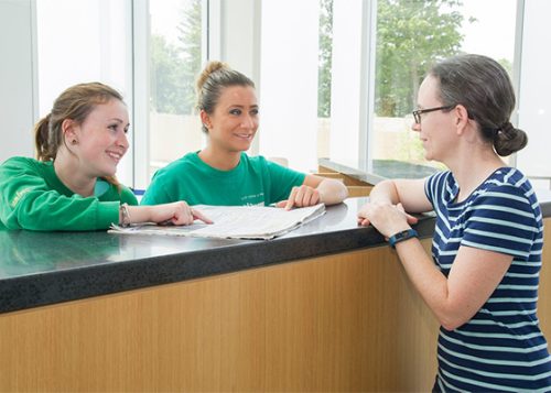
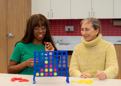
Learn how to register for programs, find ways to participate or try a volunteer opportunity.
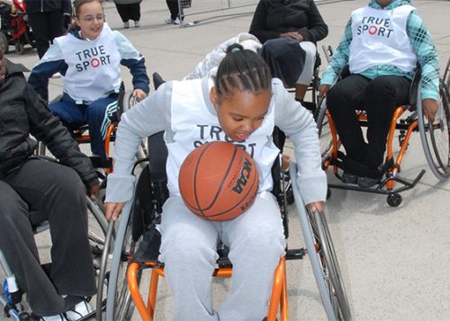
Adapted programs and inclusive support is available for those with disabilities or other accessibility requirements.
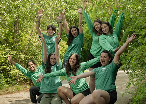
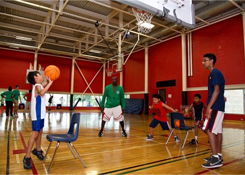
Work across the city in community centres, parks, pools, arenas and City-owned museums and cultural centres.
Find out about closures and service changes as soon as they happen for community recreation facilities.