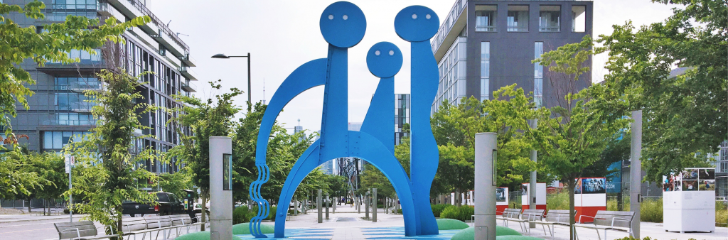
City of Toronto   *
HomeContact UsHow Do I...? Advanced search Go
Living in TorontoDoing businessVisiting TorontoAccessing City Hall *
*
*
 
 City Planning

 Sections
Community Planning
Policy & Research
Urban Design
Transportation
Zoning&Environment

 Planning Services
About Us
Application Forms
Committee of Adjustment
Application Information Centre
Development Guide
Heritage preservation
Housing
Official Plan
Official Plan Review
Planning Fees
Projects, Studies & Guidelines
   
A - Z Index
Agenda, Reports & Minutes
Contact us
*
*
* * King Liberty Village *
* *

King Liberty Square The King Liberty Lands once formed part of Garrison Common, lands that were set aside for military use. Fort York was built at the mouth of Garrison Creek, and in 1871 the provincial government allocated 20 acres of land south of King Street and west of Strachan Avenue for the Central Prison for Men.

There are only two remaining buildings from the prison; the prison's Roman Catholic chapel, which was built in 1877, and the prison's paint shop, which was incorporated in the A.R. Williams Machinery building. The chapel was later used by the John Inglis and Sons, when the lands became a thriving industrial centre.

By the early 1980's, industry moved out or closed and the lands become a vacant brownfield site. A process began in 1999 to transform this former industrial site into a new downtown community that connects to the surrounding community.

The King Liberty neighbourhood will be a mixed-use community with live/work buildings, offices, residential and retail uses that will be contained in a mix of building types including townhouses, towers and mid-rise buildings.

A number of heritage buildings including the Chapel building and the A.R. Williams Machinery building have been retained and will reflect the neighbourhood's past. Three public parks are being built including a linear park along the rail corridor, a gateway park and a central park which will contain the restored Chapel building. In addition to the park spaces, publicly accessible plazas will contribute to the open space in the community and will add a north-south pedestrian connection. East Liberty Street will be the main corridor in this new community.

King Liberty won the 2005 CUI (Canadian Urban Institute) Brownie Award for the best large-scale project.


King Liberty Urban Design Guidelines

The King Liberty Urban Design Guidelines, which were endorsed by City Council, provide the principles and overall vision for the emerging King Liberty neighbourhood. The guidelines build on the approved policies of the Official Plan and the zoning by-laws that describe the locations of public spaces, the density, height and form of buildings, and defines the character of the community, requiring that it be sensitive to the heritage of the area.

The goal of the guidelines is to build King Liberty as a community that is an interesting place to walk, discover and experience.

You can download the Guidelines in full, or view it in sections below:
(You will need to have the latest version of the Get Acrobat Reader FREE Acrobat Reader to view these PDF files.)

  1. Vision Statement (Full 6.1 MB)
    Introduction - Part 1-1 (432 KB)
    Summary of Recent Approvals - Part 1-2 (2.5 MB)
    Status of Blocks 2B-8 Applications - Part 1-3 (532 KB)
    History and Significance of the Site - Part 1-4 (656 KB)
    Role of Urban Design Guidelines - Part 1-5 (2.4 MB)

  2. Goals and Objectives of the Guidelines (3.5 MB)
    Development Context - Part 2-1 (749 KB)
    Public Realm - Part 2-2 (1.4 MB)
    Public Realm - Part 2-3 (1.6 MB)

  3. Summary of Block Characteristics (1.4 MB)

  4. Design Parameters (778 KB)

  5. Appendices A & B (691 KB)

For more information please contact:

Jeff Markowiak
E-mail : jmarkow@toronto.ca
Phone: 416-397-4647

Back to the top of the page
 
*Toronto maps | Get involved | Toronto links | 311 | Comment | Subscribe | Privacy statement
*
© City of Toronto 1998-2013