Development-related resources, including policies and design guidelines.
Search for details about current planning applications and Minor Variance and Consent applications.
Regulations for the use of land, the bulk, height, location, erection and use of buildings & structures.
Forms and details on submitting an application.
Learn about coordinated, citywide action to address the housing crisis with updated planning rules, enabling more homes to be built in more places.
Present and upcoming planning studies by location.
Information and applications for minor variances and consents.
Information and details for the current Provincial Transit-Oriented Community proposals.
Planning, strategies and construction of park and recreation facilities.
Information on heritage-related planning initiatives.
Advancing the revitalization of the waterfront.
Special panels & initiatives to improve participation in the planning process.
Profiles and analysis of the latest trends in the City of Toronto.

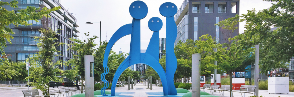 "The Water Guardians" on Front Street in the newly redeveloped West Don Lands community City of Toronto