
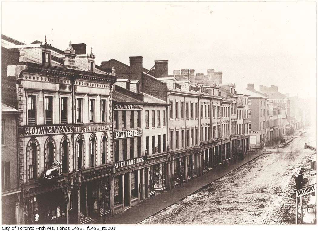
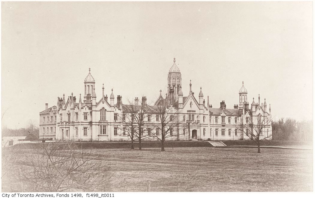
When the Province of Canada was formed in 1840 by the Act of Union, the fledgling country did not have a permanent seat of government. Several cities, including Toronto, provided a temporary home for the parliament. There were obvious advantages in being the capital of Canada and competition to win this prize was fierce. The issue came to a head in 1857 when Toronto, Montreal, Kingston, Quebec City and Ottawa each submitted a report to the Colonial Office stating why it should be chosen as the capital.
As part of its report, the City of Toronto included a set of photographs championing the advantages of its streets, buildings and its physical situation on Lake Ontario. These photographs are the earliest known images taken in Toronto. They give us a fascinating glimpse into our past, clearly showing the street grid that still exists, but also showing how much has changed.
Next page - Toronto's Bid to Be the Capital of Canada