The Casa Loma HCD Study was prioritized by City Council in March 2015. The HCD Study was recommended to provide an overall understanding of the area’s history and heritage character and to determine if an HCD would be an appropriate heritage planning tool.
The City Planning Division initiated the Casa Loma HCD Study in Summer 2017 and retained a project team led by EVOQ Architecture with ASI Inc. (archaeology), Urban Strategies Inc. (planning) and DTAH (landscape architects) to prepare the HCD Study report.
The Casa Loma HCD Study included a comprehensive property inventory, historical research, character analysis, evaluation of the area’s heritage value, and review of the area’s existing planning framework. The study process included two public meetings, as well as the convening of a community advisory group to provide specific and detailed feedback on research, analysis and recommendations.
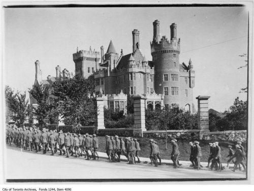
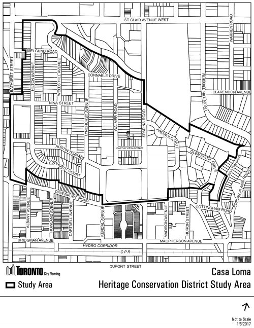
The Casa Loma HCD Study Area is bound by the Davenport Escarpment to the south, Bathurst Street to the west, Nordheimer Ravine to the north and Poplar Plains Road to the east. The Study Area may be further divided through the Study process, and does not necessarily reflect any potential HCD boundary.
The Casa Loma HCD Study was initiated in Summer 2017. The HCD Study was received by the Toronto Preservation Board on July 12, 2018, including the recommendation to proceed with developing HCD Plans for Hilton Avenue and Wells Hill Avenue.