

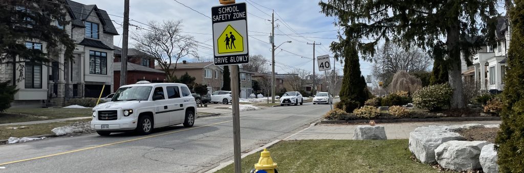
In consultation with the local community, the City of Toronto is developing a Neighbourhood Streets Plan for the northern portion of the Newtonbrook West neighbourhood that will address five main areas of concern:
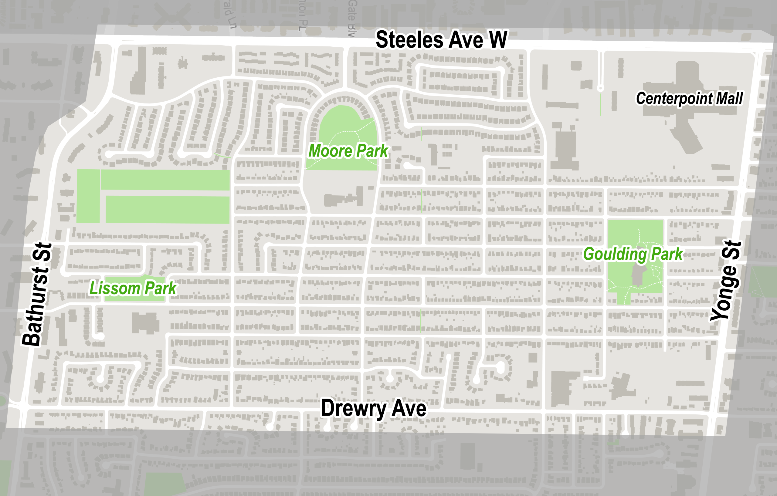
The North Newtonbrook West Streets Plan project area is located between Bathurst Street, Steeles Avenue West, Yonge Street and Drewry Avenue.
The North Newtonbrook West neighbourhood was nominated for a Neighbourhood Streets Plan (NSP) by the local Councillor’s Office.
Each year, dozens of nominations are received, and several neighbourhoods are selected to participate in the program. More information on the nomination and selection process can be found at toronto.ca/NSP.
NSPs are a service for neighbourhoods where traffic and travel patterns challenge the safety and mobility of people using the streets. Through the NSP process, a team of City staff work with communities to identify local issues and opportunities, prioritize the greatest needs, and recommend changes to traffic operations and street designs.
NSPs consider the needs of all road users and emphasize the safety of vulnerable road users such as seniors, school children, and people walking and cycling.
NSPs follow several steps outlined below, and public consultation takes place in two stages.
NSPs result in short-term actions which can be made using temporary, flexible materials like signs, asphalt, paint and bollards, and identify longer-term changes which can be accomplished alongside future programmed road work.
The outcomes of each NSP are different based on local conditions and the needs of each neighbourhood. Generally, NSPs recommend actions related to motor vehicle speed and volume management, and traffic safety conflicts on local streets. NSP recommendations are informed by the City’s Traffic Calming Guide, Vision Zero Action Plan and Complete Streets Guidelines.
The City is inviting local residents, businesses and organizations to learn more and provide feedback. Consultation will take place over two stages between spring 2026 and spring 2027:
Information, reference materials and reports on public consultation activities will be posted here. Public and interest group opinions, along with technical and policy considerations, are used to inform City staff recommendations and decisions to be made by City Council.
A Public Drop-in Event was held on June 10, 2026, and included an opportunity to speak with project staff and view information panels. View the consultation materials below.
Sign up to receive project updates at key project milestones. Your information will be kept private and will only be used to notify you about this project.