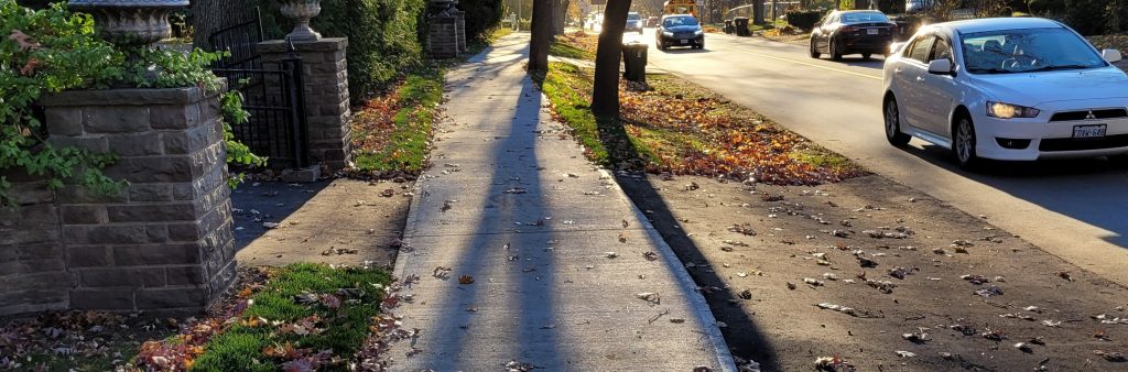
The sidewalk inventory provides information on the location of sidewalks along all transportation corridors within the City of Toronto limits. City centreline data was utilized as the base network while aerial photography (orthoimagery) captured in spring of 2015 was used to determine sidewalk presence. The sidewalk inventory is used by City staff in addition to others such as consultants hired by the City for various purposes (e.g. infrastructure planning, safety studies, area specific studies, Environmental Assessments and Transportation Master Plans). The Essential Links Capital Program utilizes this inventory in order to identify and prioritize building of new sidewalk links.

There may be inaccuracies in the dataset due to human input errors, low visibility of some aerial photos and recent changes since the aerial photos were captured in 2015. Help us improve the accuracy of the inventory by reporting any errors to newsidewalks@toronto.ca.


For the complete detailed version of the inventory and GIS files, please visit the Sidewalk Inventory page on the City’s Open Data Portal.