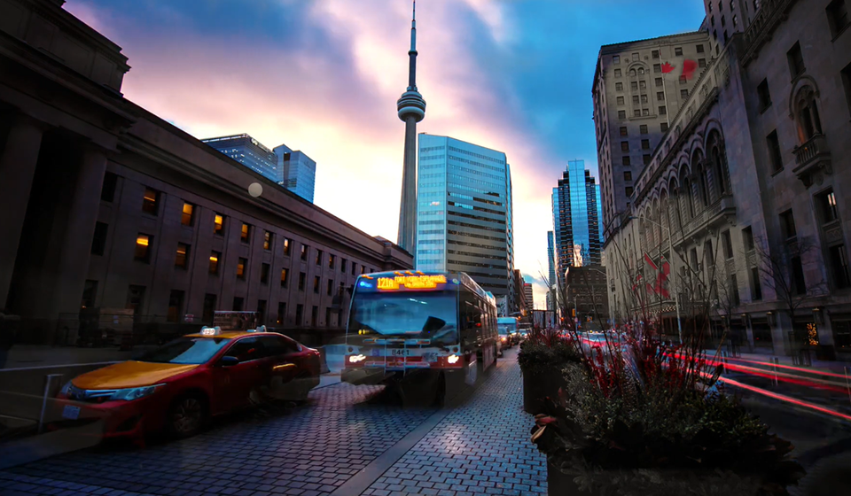
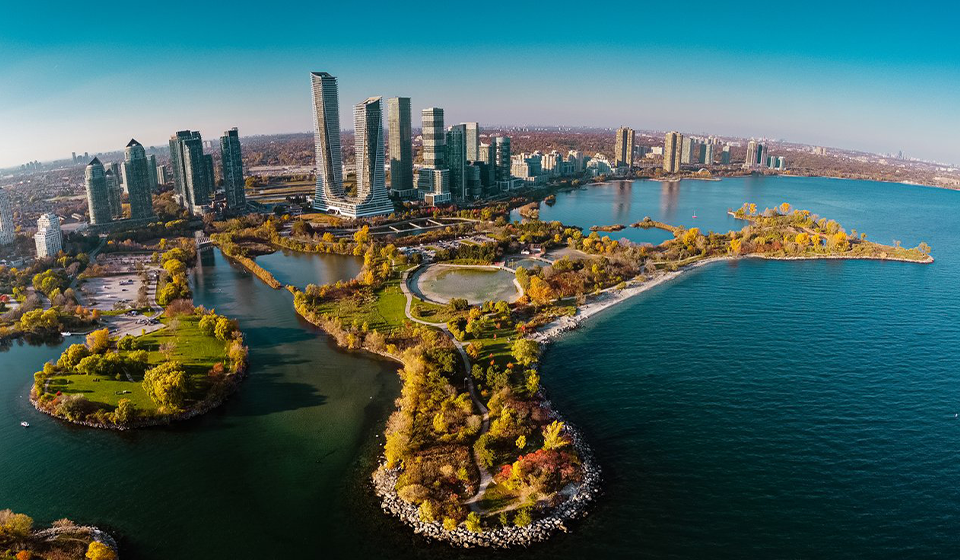
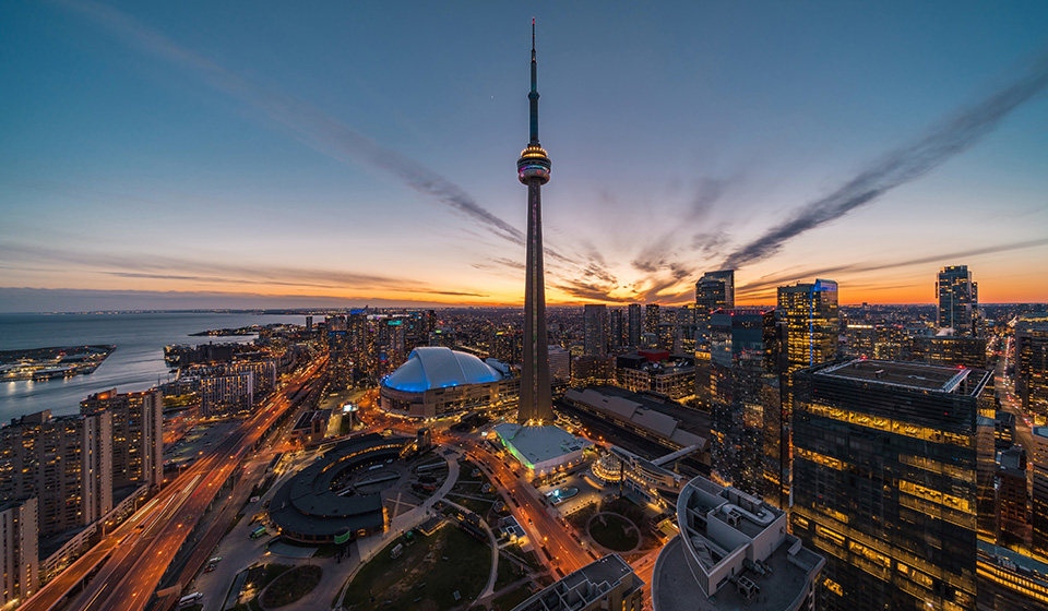
City of Toronto   *
HomeContact UsHow Do I...? Advanced search Go
Living in TorontoDoing businessVisiting TorontoAccessing City Hall *
Getting Around
Toronto Transit Commission
Traffic cameras
Toronto maps
Transportation services
Parking
Road restrictions
GO Transit
Toronto Island Ferry
Cycling
Toronto's location
PATH - downtown walkway
RESCU traffic cameras  
Toronto's Gardiner Expressway


RESCU is a traffic management system used to detect disruptions to traffic flow along the Don Valley Parkway, Gardiner Expressway and Lake Shore Boulevard.

The system is comprised of 53 traffic cameras, 635 vehicle sensors and 5 overhead changeable message signs. RESCU is operated by the City's Transportation Services Division and has been in place since January 1994.
 
What's new
   
Improvements and construction projects
The City of Toronto undertakes many improvement projects each year, including the replacement or reconstruction of roads, sidewalks, watermains, sewers, and other infrastructure. View the list of current improvement projects to find out which roads are affected. You can also find out about major construction and assessment projects in which the public is invited to get involved.
Pedestrian safety
"Please Drive Carefully - We're All Pedestrians" is a campaign encouraging drivers to be more aware of pedestrians.
Road restrictions
View our weekly reports on road restrictions that impact major Toronto roadways.
Transit construction news
Find out how transit construction projects will affect public transit vehicles, routes and schedules.
Help to get around downtown
See our downtown visitors map.
Online parking ticket payment system
With a valid Mastercard or VISA, City of Toronto Parking Tickets can now be paid online in three simple steps.
Temporary On-street Parking Permits
City of Toronto residents and their guests can now obtain a temporary on-street parking permit conveniently from their own home or office.
Bike lockers
The city's bike lockers program allows for secure bike parking by improving protection from theft, vandalism and inclement weather. Lockers can hold one bike and bicycle gear including panniers, lights, locks and more.
Toronto Cycling Map
The cycling map shows marked bicycle lanes, signed bicycle routes and pathways. It also shows suggested routes and connections in areas where routes have not yet been designated as part of the Bikeway Network.
Fleet Services
Fleet Services is the division of the City of Toronto that keeps City employees moving to support the delivery of public programs and services. Find out what Fleet's doing to limit emissions, keep the City and its staff safe, and much more...
 
 
The Red Rocket picks up passengers Public Transit
Ride the Rocket! Take the TTC.
PATH underground walkway P.A.T.H. Walkway
Colour-coded arrows point you in the right direction.
City of Toronto Interactive Maps Toronto maps
Locate addresses and services on our interactive maps.
Green P parking Green P parking
Locate the Toronto Parking Authority's lots and meters.

Highlights
Cycling safety tips
Parking tickets
Public transit schedule information
Toronto Pearson International Airport
Getting to and from Toronto Pearson International airport by public transit
Toronto Pedestrian Committee
Sidewalks are for Pedestrians

Toronto maps | Get involved | Toronto links | 311 | Comment | Subscribe | Privacy statement
*
© City of Toronto 1998-2012