Apply for or renew your on-street, off-street or temporary parking permit and learn more about car-sharing programs and parking regulations in Toronto.
Apply for a temporary street closure, banner or sidewalk sale permit.
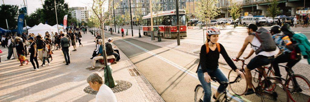
Plan your trips around Toronto and the GTHA using public transit and learn how the transit network is expanding.
Up-to-date information on road restrictions, maintenance and construction projects on Toronto's roads.
How to stay safe on Toronto's roads.
Information on our winter maintenance program, potholes, bike removals and more.
How the City manages traffic with lights, signs and cameras.
Information on our cycling program, projects, bylaws and network.
Information about the City's wayfinding strategy, tours, sidewalks and accessible streets.
Programs that improve the safety, functionality and sustainability of our streets and public realm while beautifying neighbourhoods.
Learn about transportation projects, including RapidTO.