Request the planting, pruning or removal of a City tree.
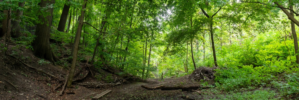
Tree maintenance and protection is important for the health of our urban forests. The City of Toronto has a goal of reaching 40 per cent tree canopy cover by 2050 but we can’t do this alone. Together we need to plant, protect, maintain and plan to achieve this goal. Trees absorb water, clean the air, provide shade, reduce erosion, flooding and wind tunnels, and decrease heating and cooling costs.