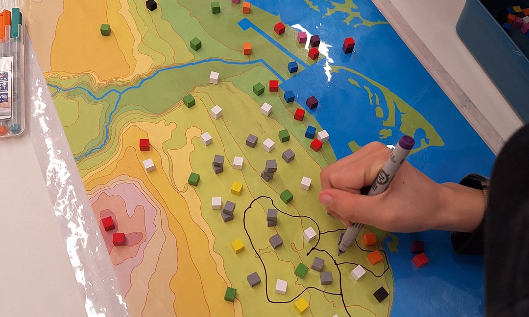
This interactive 90-minute program supports civics learning for Grade 5 students. Participants explore how municipal government works, discover the wide range of services the City provides, and find out how their voices can be heard on local issues. Students also learn about the history of their local neighbourhood and school using maps and photos from the Archives and then apply their learning by designing their own Toronto master plan.
Curriculum connections
Grade 5: Role of Government and Responsible Citizenship
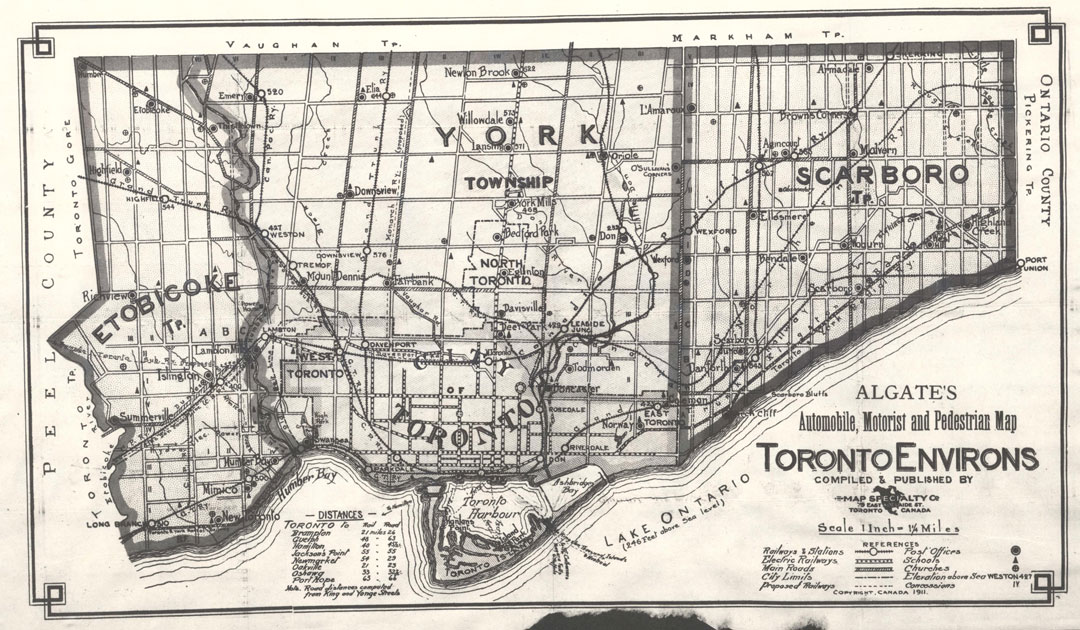
Algate’s automobile, motorist and pedestrian map, Toronto environs 1911 City of Toronto Archives Series 726, Item 376
At the City of Toronto Archives, participants become city planners designing a new Toronto master plan.
An engaging program introducing students to the Archives and the world of primary sources. View our Records Centre, get hands-on with primary sources and see how your neighbourhood shows up in the Archives’ collections. This program can be adapted to suit a wide variety of grade levels and interests.
Topics to explore
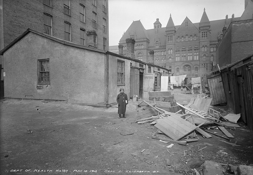
Immigrant life 100 years ago in Toronto’s Ward neighbourhood
Geography using historic maps
Archival letters and documents
Specific time periods or historical events (e.g. the 1850s, the Great Depression)
Creative writing with primary sources
Toronto’s rivers, waterfront, islands and Portlands
Early settlement and urbanization
Customized requests
Curriculum connections
Grade 1: The Local Community
Grade 2: Changing Family and Community Traditions
Grade 3: Communities in Canada 1780-1850; Living and Working in Ontario
Grade 4: Political & Physical Regions of Canada
Grade 6: Communities in Canada, Past & Present
Grade 7: Physical Patterns in a Changing World
Grade 8: Creating Canada 1850-1890; Canada 1890-1914, A Changing Society
Toronto Archives Spadina Records Centre 2023
Rear of 21 Elizabeth Street, the Ward neighbourhood May 15, 1913 City of Toronto Archives Series 372, Subseries 32, Item 187