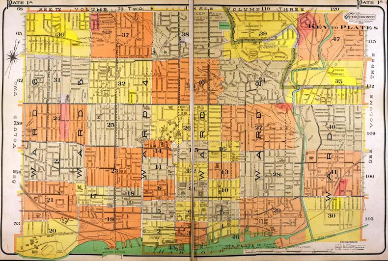
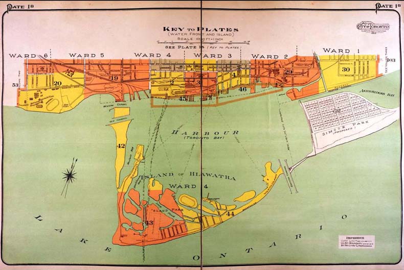
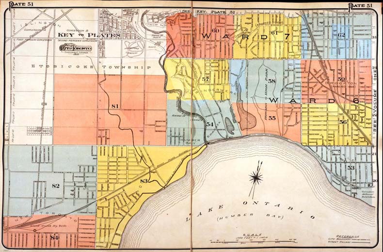
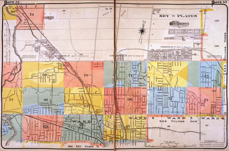
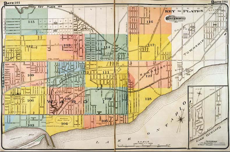
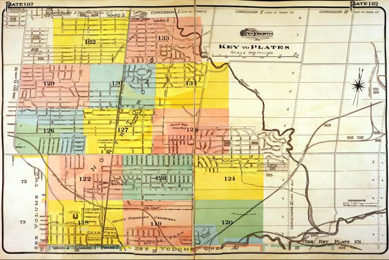
Click on any map area to see a more detailed plan.

A colour index map of the area bounded by St Clair Avenue to the north, Dufferin Street to the west, Lake Ontario to the south and Leslie Street to the east, linking to high-resolution scanned fire insurance plans.

A colour index map of the area bounded by Richmond Street to the north, Dufferin Street to the west, Toronto Islands and Lake Ontario to the south and Pape Avenue to the east, linking to high-resolution scanned fire insurance plans.

A colour index map of the area bounded by Annette Street to the north, Kipling Avenue to the west, Lake Ontario to the south and Dufferin Street to the east, linking to high-resolution scanned fire insurance plans.

A colour index map of the area bounded by Lawrence Avenue to the north, the Humber River to the west, Annette Street to the south and Bathurst Street to the east, linking to high-resolution scanned fire insurance plans.

A colour index map of the area bounded by St Clair Avenue to the north, Pape Avenue to the west, Lake Ontario to the south and Midland Avenue to the east, linking to high-resolution scanned fire insurance plans.

A colour index map of the area bounded by Lawrence Avenue to the north, Bathurst Street to the west, St Clair Avenue to the south and Victoria Park Avenue to the east, linking to high-resolution scanned fire insurance plans.