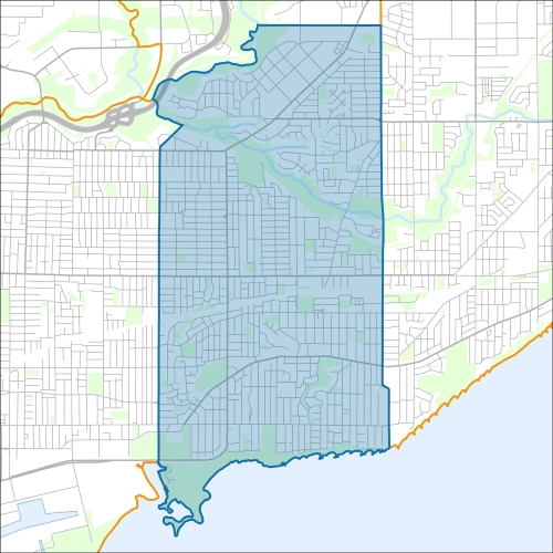
Beaches-East York Councillor Office
Beaches-East York Profile - 2021 Census
Beaches-East York Profile - 2016 Census
Need assistance reading content? Call 311 or email cityplanning@toronto.ca.
A road classification system designates streets into different groups or classes according to the type of service each group is intended to provide. This is a fundamental tool for urban development and road management. Grouping roads with similar functions can improve transportation planning, road infrastructure design, maintenance, traffic and road operations.
Every street owned by the City of Toronto has been given one of five classifications (with the exception of public laneways).
The City of Toronto will resurface the streets listed below. Our inspection of these roads shows that they need resurfacing and sections of damaged curb and/or sidewalk need to be replaced to bring them to a state of good repair. This project is part of the Council-approved 2026 Capital Works Program to renew aging City roads and sidewalk for current and future needs.
Beaches-East York Pre-Construction Notice (Dated: March 3, 2026)
All construction notices below are organized by street name.
Basement Flooding Protection Program on St. Clair Avenue East, Westview Boulevard and local roads
Phase 1
Phase 2
Phases 3 & 4
Phase 4
Cranfield Road (from Dohme Avenue to Waterman Avenue) Watermain Replacement and Road Resurfacing
Danforth Avenue Upgrades (from Main Street to Victoria Park Avenue)
Dawes Road Sanitary Trunk Sewer Protection
Glenmore Road (from Gerrard Street East to Eastwood Road) Watermain Cleaning and Relining
King Edward Avenue from Holborne Avenue to Lumsden Avenue
O’Connor Drive Storm Sewer Replacement and Sunrise Avenue Road Resurfacing
Victoria Park Avenue (under Metrolinx Rail) Bridge Rehabilitation
Victoria Park Avenue Sanitary and Storm Sewer Replacement
Victoria Park Avenue Watermain Replacement, Intersection Improvements, and Road Resurfacing
Woodbine Avenue Bridge (Rehabilitation under Metrolinx Rail)
Yardley Avenue (from Westview Boulevard to Victoria Park Avenue) Watermain Cleaning and Relining
If you would like more information about this construction in your neighbourhood, please visit T.O. INview.
Within the Feature Filter:
Then, in the top left search bar:
If you need more information, please call 311.
The City of Toronto ensures that tenants live in safe, well-maintained buildings through RentSafeTO, a bylaw enforcement program. Building owners must comply with the bylaws within the program or face financial penalties.