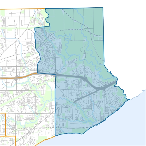
Scarborough-Rouge Park Councillor Office
Scarborough-Rouge Park Profile - 2021 Census
Scarborough-Rouge Park Profile - 2016 Census
Need assistance reading content? Call 311 or email cityplanning@toronto.ca.
A road classification system designates streets into different groups or classes according to the type of service each group is intended to provide. This is a fundamental tool for urban development and road management. Grouping roads with similar functions can improve transportation planning, road infrastructure design, maintenance, traffic and road operations.
Every street owned by the City of Toronto has been given one of five classifications (with the exception of public laneways).
The City of Toronto will resurface the streets listed below. Our inspection of these roads shows that they need resurfacing and sections of damaged curb and/or sidewalk need to be replaced to bring them to a state of good repair. This project is part of the Council-approved 2024 Capital Works Program to renew aging City roads and sidewalk for current and future needs.
Scarborough-Rouge Park, Pre Construction Notice (Dated: June 12, 2024)
All construction notices below are organized by street name.
Beare Road and Finch Avenue East (Beare Hill Park) Power Plant Demolition, Electrical Equipment Installation and Site Restoration
Beechgrove Drive Culvert (over West Hill Watercourse) Replacement
Greyabbey Trail Sanitary Forcemain Replacement
Island Road (between Brownfield Gardens and Island Road Sewage Pumping Station) Sanitary Forcemain Replacement
Lawson Road (over Centennial Creek) Culvert Rehabilitation
Lawrence Avenue (over Highland Creek) Bridge Rehabilitation
Lawrence Avenue East (over Adams Creek) Culvert Rehabilitation
Lawrence Avenue East (from Goldberry Square to west of Centennial Road and inside the Cumber Sewage Pumping Station) Sanitary Forcemain Replacement
Mattamy Rouge Stormwater Management Pond (outside Rouge National Urban Park) Sediment Removal and Maintenance
Morningside Avenue (between Sheppard Avenue East and Milner Avenue) Watermain Cleaning and Relining
Orchard Park (from West Hill Drive to
Kingston Road) Road Reconstruction and Green Infrastructure
Plug Hat Road (over Little Rouge Creek) Culvert Replacement
Sewells Road (between Empringham Drive and Morningside Avenue) Watermain Cleaning and Relining
Stott’s Bridge (on Twyn Rivers Drive over Rouge River) Emergency Closure
West Hill Drive (from Lawrence Avenue East to Old Kingston Road) Road Reconstruction and Green Infrastructure
Zaph Avenue (from Ellesmere Avenue to north end of Zaph Avenue) Road Reconstruction and Green Infrastructure
If you would like more information about this construction in your neighbourhood, please visit T.O. INview.
Within the Feature Filter:
Then, in the top left search bar:
If you need more information, please call 311.
The City of Toronto ensures that tenants live in safe, well-maintained buildings through RentSafeTO, a bylaw enforcement program. Building owners must comply with the bylaws within the program or face financial penalties.