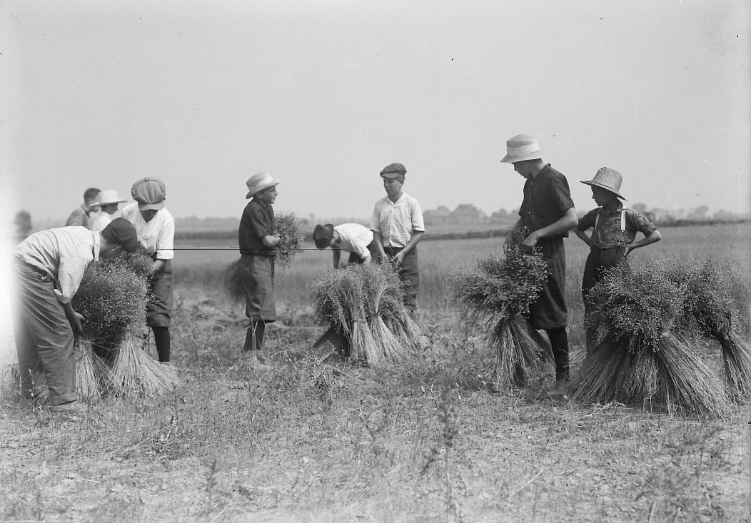
In 1849, the Municipal Corporations Act (also known as the Baldwin Act) established a new two-tier system of municipal government and York Township was formed as part of York County. York Township encompassed the lands bounded by Lake Ontario, the Humber River, Steeles Avenue and Victoria Park Avenue. In the early 20th century, York Township Council was concerned primarily with the urban issues of the more populated, southern part of the township: sidewalks, streets, lighting, waterworks, sewage, etc. The 6,000 people living on the farms north of the City of Toronto felt neglected. Owing to the density of population in the urban portion of York, the rural residents had no representation on Council despite paying nearly 23% of the taxes collected by the township. A committee was formed in 1921 to divide the rural from the urban portions of the Township of York, and this was the origin of the Township of North York.
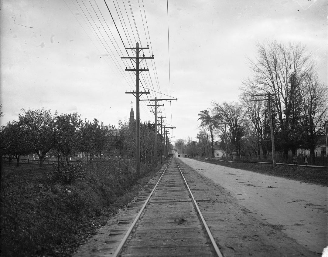
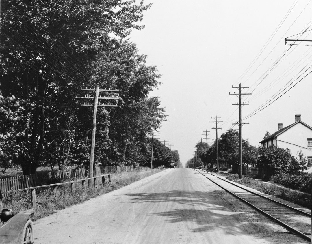
Two of the photographs above show the streetcar tracks for the line that served north Yonge Street. The route had been operated by the Toronto and York Radial Railway until 1921 when that company’s assets were absorbed by the newly formed Toronto Transportation Commission.
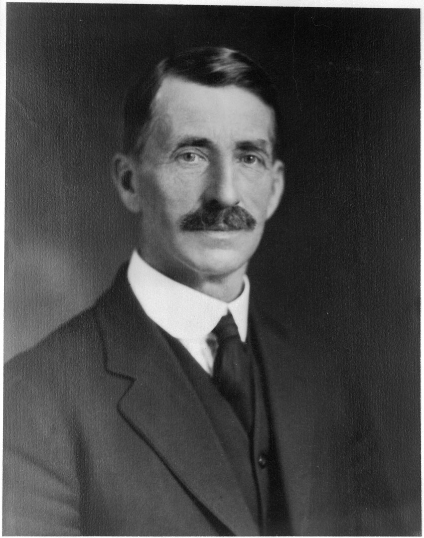
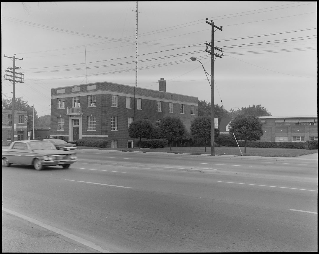
The Township of North York was incorporated as a separate municipality on June 13, 1922. A five-man council, comprised entirely of farmers, was elected on August 12, 1922, with Mr. R.F. Hicks as the first reeve. Council meetings were held initially at the Brown School and later in the Golden Lion Hotel. On September 15, 1922, an office was opened in a store on Yonge Street at Sheppard, but in February 1923 there was a fire which destroyed some official records. Seeking more permanent quarters, a site was purchased at 5145 Yonge Street and Empress Avenue. The first municipal office for the township, designed by architect Murray Brown, opened on December 19, 1923, and continued to serve until 1956. Incidentally, Murray Brown also designed the seal for the Township of North York in 1923. On it, the words “Progress with Economy” surrounded an ornamental shield with a Canadian beaver, a wheat sheaf and scales.
During the Second World War, people who were employed in war work came to live in the township. Nevertheless, by the end of the war, North York was still just a few small settlements amidst acres of farmland. In the post-war period, things began to change, and by 1950 the population had soared. The township welcomed waves of veterans and immigrants looking for inexpensive land and housing for their families. North York Council began to concern itself with the need for planning to manage the subdivision of farmland and the tremendous expansion of residential, commercial, and industrial development.
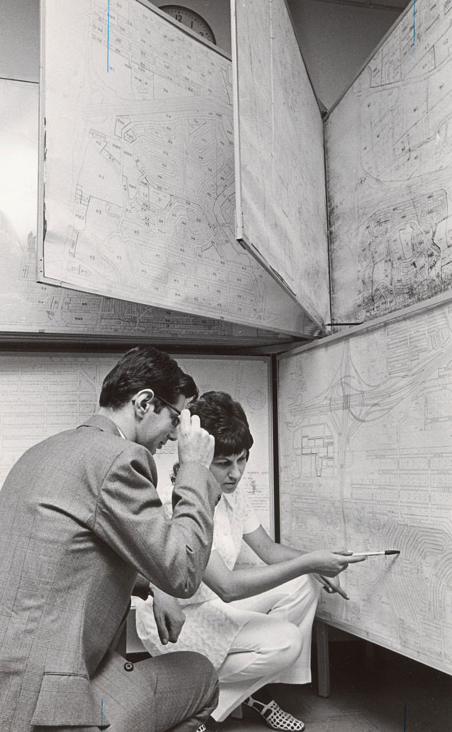
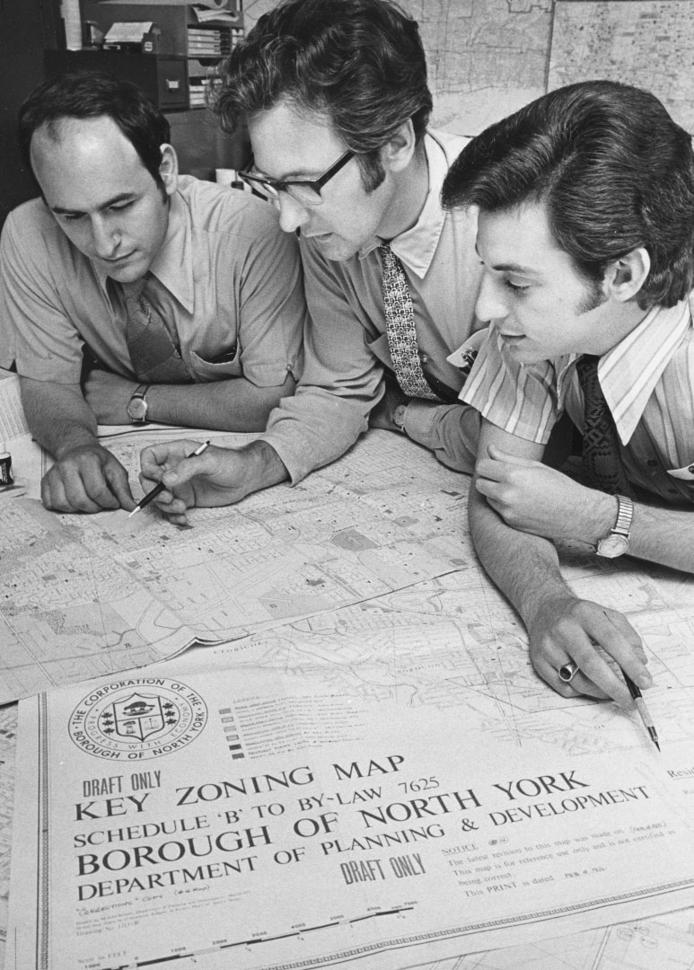
The provincial Planning Act of 1946 led to the formation of the North York Planning Board on September 25, 1946. The Board directed the work of the North York Department of Planning and Development, whose main tasks were to assist council to formulate a land development policy and to ensure that community needs were met. In the post-war period, the population of North York boomed, with an increase from 20,382 in 1940 to 62,646 in 1950. This explosion in growth led to a high demand for diverse housing, shopping centres, industrial properties, warehousing and institutional facilities such as schools and hospitals. To meet these needs, North York produced its first Official Plan in 1948. Additionally, with the aid of Dr. E.G. Faludi, Planning Consultant, a zoning bylaw was prepared and passed by Council in June 1952. North York was one of the few municipalities to have such comprehensive legislation, and an important feature was the Township’s emphasis on the protection of the Wilket Creek and Don and Humber river valley lands for green belt zones.