Members of the Huron-Wendat First Nations lived for centuries on the land area that we now call Scarborough. This was evidenced by the 1956 discovery of their burial ground in Tabor Hill Park at Bellamy Road and Lawrence Avenue East. The first European settlers arrived in 1791, and Scarborough first was called Glasgow. Elizabeth Simcoe, wife of Upper Canada’s first Lieutenant Governor, renamed the area Scarborough, since the bluffs along the shore of Lake Ontario reminded her of Scarborough in Yorkshire, England.
Most of Scarborough’s early settlers were from the British Isles. When the Township of Scarborough was established in 1850, its population consisted of only 3,000 people. For one hundred years, Scarborough was mostly rural, with farms, mills along the Rouge River and Highland Creek, and a few roads, stores, schools and churches. There was a dispersed group of small communities, including Scarboro Village, Birch Cliff, Wexford, Agincourt, Woburn, Ellesmere, Bendale, Malvern, Armadale, Highland Creek, West Hill and Port Union.
The Township’s first reeve was Peter Secor and its first council meeting was held at Dowswell’s tavern on Markham Road. Lacking a city hall, municipal officials met for years at Johnston’s Hall in Woburn. After 1922, they met above a Bank of Commerce branch on Kingston Road in Birch Cliff. During the lean Depression years, the Township essentially went bankrupt and was administered by the Province of Ontario.
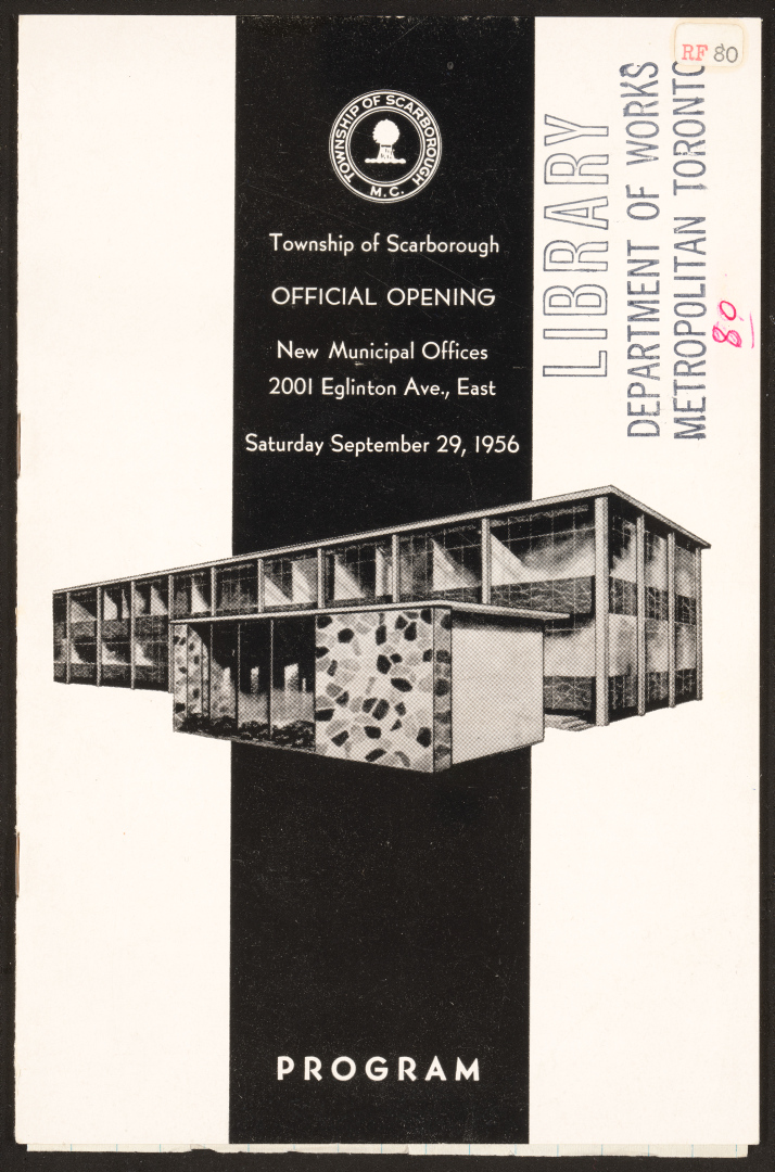
Prosperity returned largely as a result of the Second World War. The General Engineering Company munitions plant on Eglinton Avenue East infused the area with development and employment. After the war, the area became known as the Golden Mile commercial district. The Township acquired land there, and commissioned its first proper municipal building at 2001 Eglinton Avenue East. It opened in September 1956.
The postwar baby boom, immigration, plentiful land and cars (and cheap gasoline) fuelled Scarborough’s rapid population growth and urbanization. Between 1950 and 1955, its population doubled from 48,000 to 110,000, tripling again between 1955 and 1970. Having a younger population than the City of Toronto, Scarborough urgently needed new housing, schools, public amenities, and roads.
The Township’s many farms were soon swallowed up by new subdivisions of single family homes, apartment blocks, shopping plazas, service stations, commercial showrooms and manufacturing centres. These trends accelerated further after Highway 401 opened in 1956. This rapid urbanization meant that by 1970, little remained of the Township’s former rural character.