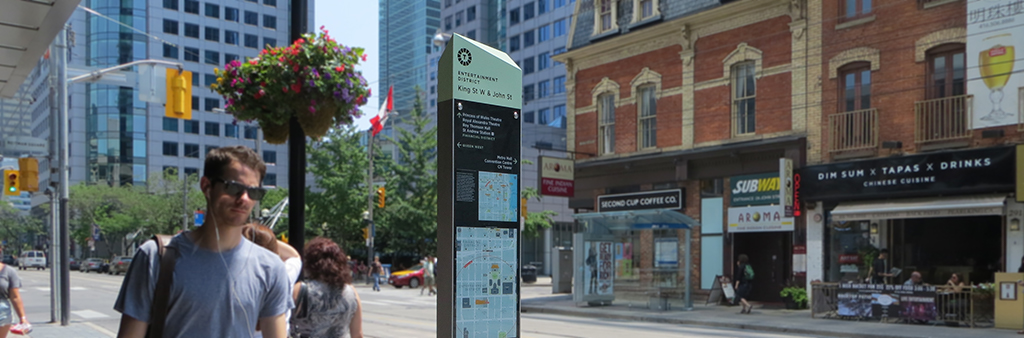
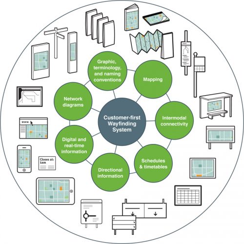
An effective wayfinding system connects places and enables people to move seamlessly between transportation modes, wayfinding systems or geographic areas.
The TO360 Wayfinding Strategy includes cycle and vehicular wayfinding systems that are managed by the City’s Transportation Services Division.
TO360 is also coordinated with ongoing wayfinding projects by partner divisions and agencies such as the Parks & Trails Wayfinding Strategy, PATH Wayfinding Strategy, and the Metrolinx Regional Wayfinding project.
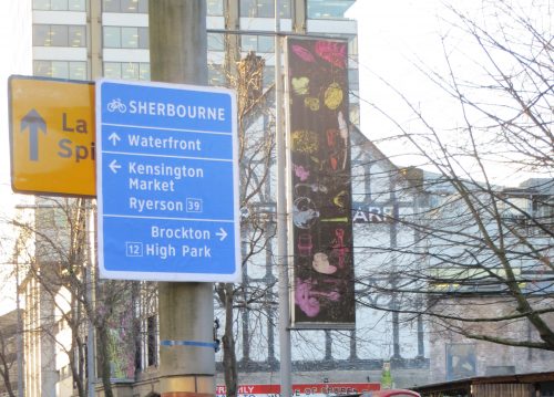
The City has developed a Cycling Wayfinding Strategy that includes on-street signage and relevant cycling information included in other wayfinding systems.
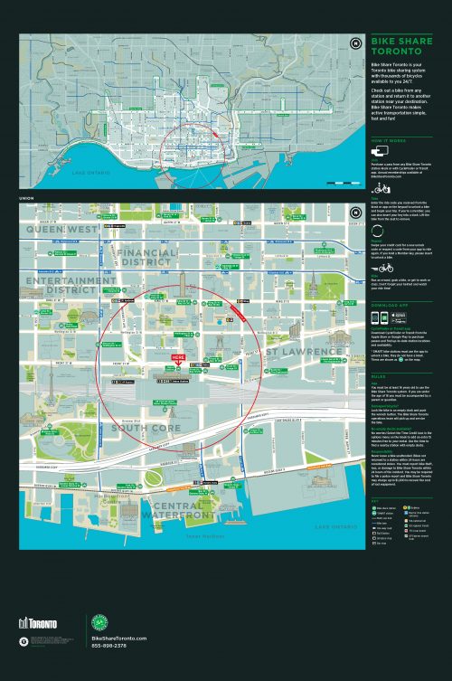
Ride-sharing bicycle station maps will be updated with a completely redesigned TO360 styled base map to help users transition between modes of travel, locate nearby bike share stations, navigate to their destination in the local area or plan a journey across town.
Metrolinx and Greater Toronto Hamilton Area transit agencies are working together to develop a common set of wayfinding guidelines that will work to ensure wayfinding information is presented in a clear, consistent and intuitive manner.
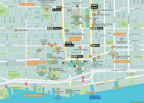
The Toronto Visitor Map allows residents and visitors who are unfamiliar with the city to find their way around Toronto’s neighbourhoods, and explore local destinations and attractions.
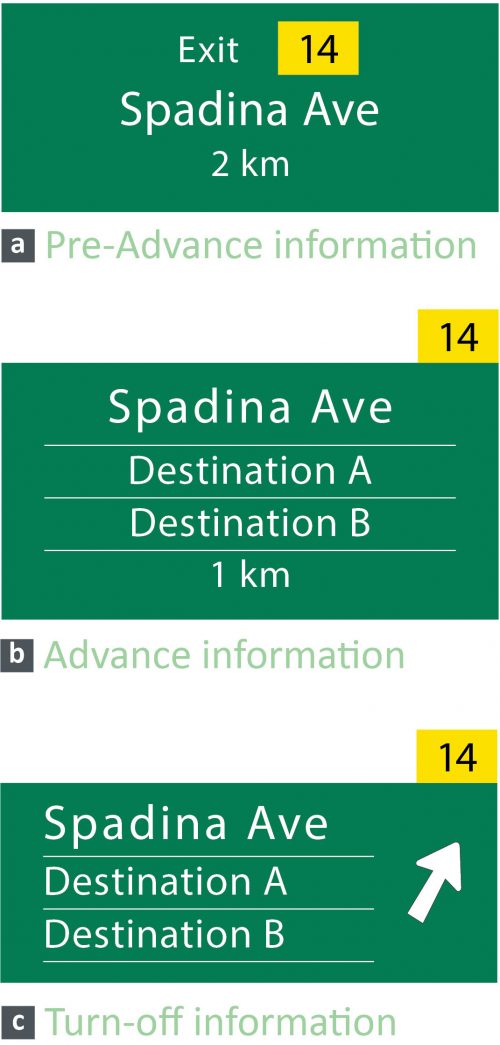
Toronto’s City Council-adopted Vehicular Destination Sign Policy creates a framework that enables the equitable selection and display of visitor destinations on city-owned expressways and roads. The implementation of this policy will allow visitors to reach their destinations safely and with confidence.
June 3, 2016 – 2016.PW14.7 - Vehicular Destination Sign Policies for the City of Toronto
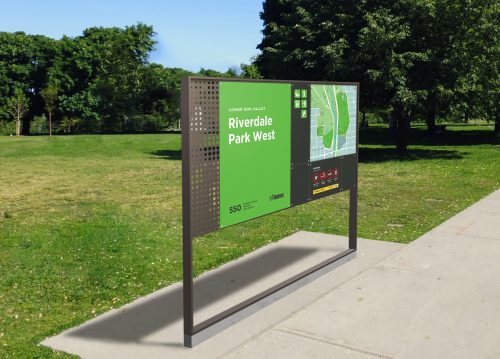
The City is developing a wayfinding strategy for parks and trails featuring a signage and information system that is consistent, accessible and predictable. It is an opportunity to reduce visual clutter, and encourage the use and discovery of parks and ravines by residents and visitors.

The City and local Business Improvement Areas (BIAs) are working together to create a wayfinding system that allows people to navigate the PATH system with confidence, using indoor connecting routes that link to neighbourhoods and major destinations.