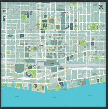
 As a part of the pilot project, select TO360 Wayfinding Signage near Union Station will display a QR code (quick-response code) that people can scan with their mobile device to conveniently access the maps and resources below to accompany them on their journey in Toronto. Learn more about the TO360 Wayfinding program.
Download a map of the downtown core area around Union Station, a part of TO360’s QR code pilot project.
Download Map
View additional maps to help you get around, including Toronto’s transit and cycling networks.
Find information on events, attractions, and other experiences the city has to offer.