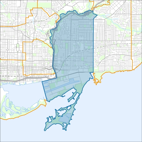
Toronto-Danforth Councillor Office
Toronto-Danforth Profile - 2021 Census
Toronto-Danforth Profile - 2016 Census
Need assistance reading content? Call 311 or email cityplanning@toronto.ca.
A road classification system designates streets into different groups or classes according to the type of service each group is intended to provide. This is a fundamental tool for urban development and road management. Grouping roads with similar functions can improve transportation planning, road infrastructure design, maintenance, traffic and road operations.
Every street owned by the City of Toronto has been given one of five classifications (with the exception of public laneways).
The City of Toronto will resurface the streets listed below. Our inspection of these roads shows that they need resurfacing and sections of damaged curb and/or sidewalk need to be replaced to bring them to a state of good repair. This project is part of the Council-approved 2026 Capital Works Program to renew aging City roads and sidewalk for current and future needs.
Pre Construction Notice (Dated: January 21, 2026)
All construction notices below are organized by street name.
Browning Avenue Pedestrian Safety Improvements
Don Valley Parkway (at Chester Hill Road) Concrete Crib Wall Rehabilitation
Don Valley Parkway (over Royal Drive) Pedestrian Bridge Rehabilitation
Rehabilitation of Bridges and Elevated Roads Near Eastern Avenue and Adelaide Street East
Eastern Avenue (from Woodward Avenue to Rushbrooke Avenue) Watermain Replacement and Sanitary Sewer Replacement on Eastern Avenue (from Leslie Street to 842 Eastern Avenue)
F.G. Gardiner Expressway (from Grand Magazine Street to York Street and from Cherry Street to Don Valley Parkway) Soffit Repairs
Gerrard Street East, Dundas Street East & Riverdale Pedestrian Bridges (over the Don River and the Don Valley Parkway) Rehabilitation
Gowan Avenue Toronto Danforth Infrastructure Improvements Preliminary Design Investigations
Greenwood Avenue Road Reconstruction
Hamilton Street (from Dundas Street East to Gerrard Street East) Road Resurfacing
Hampton Avenue (from Garnock Avenue to Danforth Avenue) Road Resurfacing
Hertle Avenue (from Dundas Street East to Highfield Road) Road Resurfacing
Hiawatha Road (from Walpole Avenue to Fairford Avenue) Road Resurfacing
Hillside Drive and Gamble Avenue
Hiltz Avenue (from Queen Street East to Dorothy Street) Road Resurfacing
Jones Avenue Road Resurfacing (From Dundas Street East to Queen Street East)
Lane East Logan South Riverdale (from Langley Avenue to Riverdale Avenue)
Leaside/Millwood (over Don Valley Parkway/Don River/Bayview Extension) Bridge Inspection
Millwood Road (Leaside) Bridge over Don Valley Enhanced Safety Barrier Installation
Millwood Road, Pape Avenue and Donlands Avenue Road Reconstruction and Road Safety Improvements
North Toronto Treatment Plant Outfall Repair, Sanitary Sewer Crossing Protection, and Don River Watercourse Restoration
Thompson Street from Carrol Street to Munro Street, Munro Street at Matilda Street and Kintyre Avenue from Broadview Avenue to Peggy Ann Smith Lane
Woodfield Road from 121 meters North of Walpole Avenue to Gerrard Street E
Wolfrey Avenue (from Broadview Avenue to Hampton Avenue) Watermain Replacement
In preparation for the Inner Harbour West Tunnel of the Don River and Central Waterfront Wet Weather Flow System, the City of Toronto will be carrying out site investigations to determine soil, rock and groundwater conditions, and confirm below ground utilities at multiple locations across the downtown waterfront.
Construction Notice (Dated: June 30, 2021)
If you would like more information about this construction in your neighbourhood, please visit T.O. INview.
Within the Feature Filter:
Then, in the top left search bar:
If you need more information, please call 311.
The City of Toronto ensures that tenants live in safe, well-maintained buildings through RentSafeTO, a bylaw enforcement program. Building owners must comply with the bylaws within the program or face financial penalties.