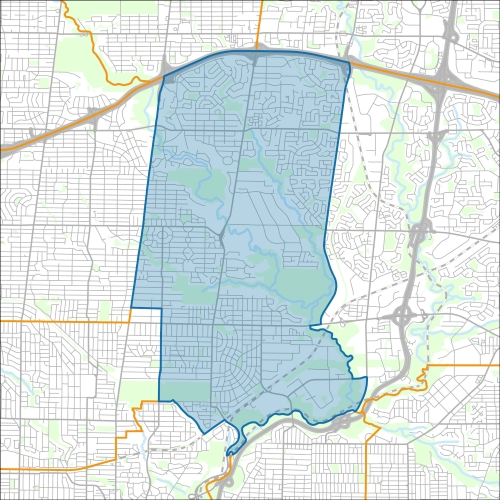
Don Valley West Councillor Office
Don Valley West Profile - 2021 Census
Don Valley West Profile - 2016 Census
Need assistance reading content? Call 311 or email cityplanning@toronto.ca.
A road classification system designates streets into different groups or classes according to the type of service each group is intended to provide. This is a fundamental tool for urban development and road management. Grouping roads with similar functions can improve transportation planning, road infrastructure design, maintenance, traffic and road operations.
Every street owned by the City of Toronto has been given one of five classifications (with the exception of public laneways).
The City of Toronto will resurface the streets listed below. Our inspection of these roads shows that they need resurfacing and sections of damaged curb and/or sidewalk need to be replaced to bring them to a state of good repair. This project is part of the Council-approved 2026 Capital Works Program to renew aging City roads and sidewalk for current and future needs.
Don Valley West Pre-Construction Notice (Dated: March 3, 2026)
All construction notices below are organized by street name.
Banbury Road, Road Resurfacing
Bayview Avenue ( from Lawrence Avenue East to 143 meters north of Lawrence Avenue East) and Watermain Replacement on Lawrence Avenue East from Mildenhall Road to Bayview Avenue
Basement Flooding Protection Program Sanitary and Storm Sewer Upgrades on Bennington Heights Drive and other local roads
Beesborough Drive, Road Resurfacing
Commercial Road (from Laird Drive to Copeland Street) Watermain Cleaning and Relining
Erskine Avenue and Redpath Avenue, Local Road Rehabilitation
Leaside/Millwood (over Don Valley Parkway/Don River/Bayview Extension) Bridge Inspection
Leslie Street from Vanderhoof Avenue to Wicksteed Avenue; on Vanderhoof Avenue from Aerodrome Crescent to Leslie Street; and on Research Road Watermain Replacement, Sidewalk Installation and Road Resurfacing
Millwood Road (Leaside) Bridge over Don Valley Enhanced Safety Barrier Installation
Millwood Road, Pape Avenue and Donlands Avenue Road Reconstruction and Road Safety Improvements
North Toronto Treatment Plant Outfall Repair, Sanitary Sewer Crossing Protection, and Don River Watercourse Restoration
Rolland Road and Rolph Road, Road Resurfacing
Ronan Avenue, Roslin Avenue and Langton Avenue Sanitary Trunk Sewer Rehabilitation
Rumsey Road from McRae Drive to Sharron Drive, Road Reconstruction and Rumsey Road from Heath Road to McRae Drive Road Resurfacing
Sutherland Drive from Millwood Road to Astor Avenue, Road Rehabilitation
The Bridle Path from Bayview Avenue to Timberglade Court, Road Reconstruction, Sidewalk Installation, Sewer Installation and Watermain Replacement
Timberglade Court, Road Resurfacing from The Bridle Path to the end of the street
Wanless Crescent
Yonge Street Storm Sewer Replacement
If you would like more information about this construction in your neighbourhood, please visit T.O. INview.
Within the Feature Filter:
Then, in the top left search bar:
If you need more information, please call 311.
The City of Toronto ensures that tenants live in safe, well-maintained buildings through RentSafeTO, a bylaw enforcement program. Building owners must comply with the bylaws within the program or face financial penalties.