The Teiaiagon-Baby Point HCD Plan was adopted by City Council on December 18, 2024, and the HCD by-law is in force and effect. See the Teiaiagon-Baby Point HCD Plan.
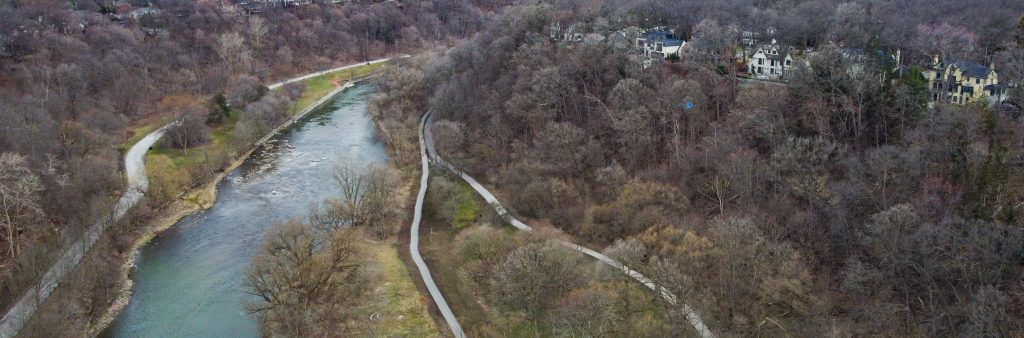
The Baby Point Heritage Conservation District (HCD) Plan study area includes the Baby Point neighbourhood and it is located on a promontory overlooking the Humber River and its ravine and valley lands used for parks, north of Bloor Street West. The area is of particular significance to Indigenous communities given its known history as a site used by their ancestors for millennia. The promontory is perhaps best known as the location of a well-documented, mid-to late seventeenth century Haudenosaunee village named Teiaiagon, which may represent one of the largest archaeological sites in the city of Toronto. The area has been identified as an Archaeologically Sensitive Area in the City of Toronto’s Archaeological Management Plan.
The neighbourhood is also defined by single-family houses on landscaped lots, a mature tree canopy and picturesque setting. The area was part of Robert Home Smith’s Humber Valley Surveys, with Baby Point proceeding in development according to the garden suburb model. The study area contains representative examples of domestic revival architecture, picturesquely situated to emphasize the ample lot sizes and conserve the mature tree canopy and natural topography.