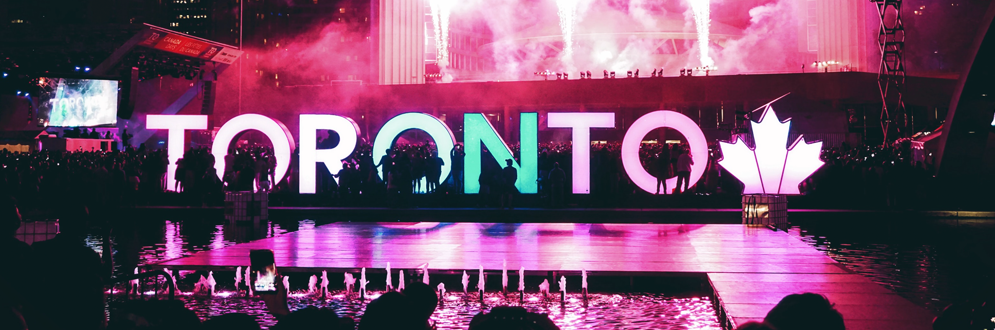
Toronto is Canada’s largest city and a world leader in business, finance, technology, entertainment and culture. Its large population of immigrants from all over the globe has also made Toronto one of the most multicultural cities in the world.
Check out the Festivals & Events Calendar to see how vibrant Toronto is.
Toronto is one of the most livable and competitive cities in the world as demonstrated by various statistics and reports.
Toronto’s municipal government is responsible for such services as roads, garbage collection, snow removal and parks and recreation. The municipality is also involved in land development, business regulations, and civic and cultural activities. Elementary and secondary schools are operated by local school boards. There are 25 City Councillors.
The provincial government is responsible for matters within the borders of the Province of Ontario. There are 22 Members of Ontario’s Provincial Parliament (MPPs) that represent the residents of Toronto in the Legislative Assembly at Queen’s Park in Toronto.
The federal government is responsible for matters regarding Canada as a whole. There are 22 Members of Parliament (MPs) that represent Toronto’s residents in the federal House of Commons in Ottawa.
Get the current weather conditions in Toronto, as well as historical averages.
In general terms, Toronto’s weather broadly follows patterns for each of the four seasons:
Spring is a fairly rainy season in Toronto with daytime temperatures rising as summer approaches while nights remain cool. The average temperature during the day is about 12°C in March, April and early May.
Summer in Toronto is at its warmest in July and August, with daytime temperatures averaging above 20°C and frequently rising above 30°C. Alerts are sometimes broadcast to warn the public about risks from extreme levels of heat, sun and smog.
Fall, or autumn, begins in September with mild temperatures falling steadily until the snowy winter season begins in December. The season is characterized by the changing of the leaves which turn from green to shades of red, orange and yellow before falling to the ground.
Winter is Toronto’s coldest season, with temperatures usually below 0°C and snow falling frequently. January and February are the coldest months where temperatures can drop below -25°C. Alerts are sometimes broadcast to warn the public about risks from extreme cold weather.