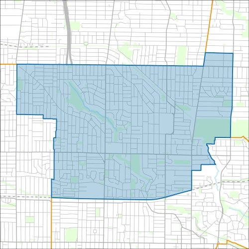
Toronto-St. Paul’s Councillor Office
Toronto-St. Paul’s Profile - 2021 Census
Toronto-St. Paul’s Profile - 2016 Census
Need assistance reading content? Call 311 or email cityplanning@toronto.ca.
A road classification system designates streets into different groups or classes according to the type of service each group is intended to provide. This is a fundamental tool for urban development and road management. Grouping roads with similar functions can improve transportation planning, road infrastructure design, maintenance, traffic and road operations.
Every street owned by the City of Toronto has been given one of five classifications (with the exception of public laneways).
The City of Toronto will resurface the streets listed below. Our inspection of these roads shows that they need resurfacing and sections of damaged curb and/or sidewalk need to be replaced to bring them to a state of good repair. This project is part of the Council-approved 2026 Capital Works Program to renew aging City roads and sidewalk for current and future needs.
Toronto-St. Paul’s Pre-Construction Notice
(Dated: March 3, 2026)
All construction notices below are organized by street name.
Basement Flooding Protection Program – Fairbank-Silverthorn Storm System Phase 1: Storm Tunnel and Local Storm Sewers Construction
Basement Flooding Protection Program – Fairbank-Silverthorn Storm System Phase 2: Local Collector Storm Sewers
Basement Flooding Protection Program – Fairbank-Silverthorn Storm System Phase 2: Construction on Blandford Street and Glenholme Avenue
Basement Flooding Protection Program – Fairbank-Silverthorn Storm System Phase 2: Construction on Keywest Avenue, Northcliffe Avenue and Allenvale Avenue
Basement Flooding Protection Program – Fairbank-Silverthorn Storm System Phase 2: Construction on Northcliffe Boulevard, Allenvale Avenue and Lauder Avenue
Basement Flooding Protection Program – Fairbank-Silverthorn Storm System Phase 2: Construction on Oakwood Avenue (from Rogers Road to Holland Park Avenue)
Basement Flooding Protection Program – Fairbank-Silverthorn Storm System Phase 2: Construction on Westmount Avenue
Balmoral Avenue from Warren Road to Poplar Plains Road
Boulton Drive Transmission Watermain Abandonment and Road Resurfacing (from Cottingham Road to Russell Hill Road) and Transmission Watermain Abandonment within Roycroft Park (from Boulton Drive to 260 m West of Boulton Drive)
Burton Road from Glenayr Road to Spadina Road
Dunloe Road (from Coulson Avenue to Old Forest Hill Road) Watermain Replacement and Road Resurfacing
Duplex Avenue (from Berwick Avenue to Eglinton Avenue West, Berwick Avenue, and Duplex Crescent) Watermain Replacement and Road Resurfacing
Glenayr Road (from 22 Glenayr Road to 27 Glenayr Road) Storm Sewer Replacement
Lanark Avenue and Winnett Avenue Road Resurfacing
Oaklawn Gardens Road Resurfacing
Oriole Parkway Road Resurfacing (from Eglinton Avenue West to Chaplin Crescent)
Penrose Road (from De Savery Crescent to Mount Pleasant Road) Watermain Replacement, Sanitary Sewer Replacement, and Local Road Resurfacing
Rathnelly Avenue (from Macpherson Avenue to Poplar Plains Crescent)
Reggae Lane Reconstruction
Rushton Lane East/South Ilford and Lane North Tyrrel West Christie
St. Paul (from Queen Street East to King Street East) Road Reconstruction
Watermain Replacement on Yonge Street from 2189 Yonge Street to Manor Road East
Winona Drive (from Vaughan Road to Eglinton Avenue West) Road Rehabilitation
Yonge Street, Watermain Replacement
If you would like more information about this construction in your neighbourhood, please visit T.O. INview.
Within the Feature Filter:
Then, in the top left search bar:
If you need more information, please call 311.
The City of Toronto ensures that tenants live in safe, well-maintained buildings through RentSafeTO, a bylaw enforcement program. Building owners must comply with the bylaws within the program or face financial penalties.