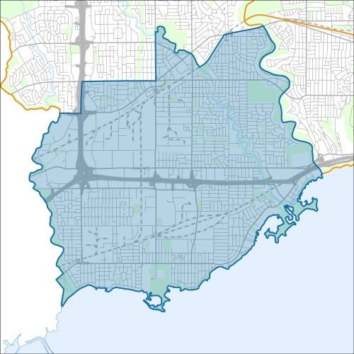
Etobicoke-Lakeshore Councillor Office
Etobicoke-Lakeshore Profile - 2021 Census
Etobicoke-Lakeshore Profile - 2016 Census
Need assistance reading content? Call 311 or email cityplanning@toronto.ca.
A road classification system designates streets into different groups or classes according to the type of service each group is intended to provide. This is a fundamental tool for urban development and road management. Grouping roads with similar functions can improve transportation planning, road infrastructure design, maintenance, traffic and road operations.
Every street owned by the City of Toronto has been given one of five classifications (with the exception of public laneways).
The City of Toronto will resurface the streets listed below. Our inspection of these roads shows that they need resurfacing and sections of damaged curb and/or sidewalk need to be replaced to bring them to a state of good repair. This project is part of the Council-approved 2026 Capital Works Program to renew aging City roads and sidewalk for current and future needs.
Pre-Construction Notice (Dated: January 21, 2026)
All construction notices below are organized by street name.
Alcan Avenue (from Brown’s Line to Enfield Avenue) Road Resurfacing.
Albert Street (southeast of Cavell Avenue), Superior Avenue (east of Lake Shore Boulevard West) and the Mimico Sewage Pumping Station work to Replace the Sanitary Forcemain.
Belvedere Boulevard Etobicoke Lakeshore Infrastructure Improvements Preliminary Design Investigations
Berry Road and Bell Manor Drive (between Park Lawn Road and Stonegate Road) Watermain Cleaning and Relining
Boncer Drive Road Resurfacing
Buckingham Street (between Portland Street and Newcastle Street) Watermain Cleaning and Relining
Canmotor Avenue and Plastics Avenue (between the Queensway and Queen Elizabeth Boulevard) Watermain Cleaning and Relining
East Side Drive Road Resurfacing
Exmoor Drive and Forty Third Street Watermain Cleaning and Relining
Fifth Street (between Birmingham Street and Lake Shore Boulevard West) Watermain Cleaning and Relining
Foch Avenue (from Jellicoe Avenue to Edgeware Drive) Watermain Replacement and Local Road Resurfacing
Fourth Street (from Lake Shore Boulevard West to South End) Road Resurfacing
Forty First Street (from Lake Shore Boulevard to West to Lake Promenade)
Islington Avenue Etobicoke Lakeshore Infrastructure Improvements Preliminary Design Investigations
Islington Stormwater Pumping Station Construction
Jopling Avenue South (from Bloor Street West to Dundas Street West) Watermain Cleaning and Relining
Kipling Avenue Etobicoke Lakeshore Infrastructure Improvements Preliminary Design Investigations
Magnificent Road and Horner Avenue Watermain Cleaning and Relining
Manstor Road (from 20 metres west of the rail corridor on Westside Drive to North Queen Street) and North Queen Street (from Nova Road to Index Road) Watermain Cleaning and Relining
Melrose Street (between Royal York Road and Grand Avenue) Watermain Cleaning and Relining
Morrison Street (at Eleventh Street), Morrison Street (west of Second Street) and at New Toronto Sewage Pumping Station
Old Mill Road (over pedestrian crossing) Bridge Rehabilitation
Queen Elizabeth Boulevard (from Canmotor Avenue to Royal York Road) Watermain Replacement, Sanitary Sewer
Replacement, and Local Road Resurfacing
The Queensway (over Humber River) Bridge Rehabilitation
Seventh Street Transmission Watermain Abandonment and Road Resurfacing; Fifth and Eighth Street Storm Sewer Replacement
St. George Street Watermain Replacement
Staffordshire Place Watermain Replacement and Road Resurfacing
Superior Avenue (Lake Shore Boulevard West to Stanley Avenue) Sanitary Sewer Replacement, Road Resurfacing and Bikeway Installation
Toffee Court (from New Toronto Street) Storm Sewer Replacement, Watermain
Replacement, and Local Road Resurfacing
If you would like more information about this construction in your neighbourhood, please visit T.O. INview.
Within the Feature Filter:
Then, in the top left search bar:
If you need more information, please call 311.
The City of Toronto ensures that tenants live in safe, well-maintained buildings through RentSafeTO, a bylaw enforcement program. Building owners must comply with the bylaws within the program or face financial penalties.