The Jane Finch Initiative Planning Study is part of the broader Jane Finch Initiative. The planning study was completed in June 2024 following City Council adoption of the Jane Finch Secondary Plan and Community Development Plan.
The Jane Finch Secondary Plan is in force and effect as of February 3, 2025, except for the property municipally known as 2775 Jane Street, Toronto, and the “Norfinch District” which are subject to appeals to the Ontario Land Tribunal (OLT-24-000833).
The Jane Finch Initiative followed Keele Finch Plus as the second City Council directed study in focus areas along Finch Avenue West to plan for significant growth and change ahead of the opening of the Finch West Light Rail Transit (LRT). Several City divisions collaborated to develop an integrated complete-community framework for the Jane Finch area.
Through the engagement process, residents helped shape these plans for their community. This community planning exercise aligned people- and place-focused initiatives to advance social equity and economic inclusion for current and future residents, encourage the appropriate kinds of growth and development in the area, and guide investment in community improvements.
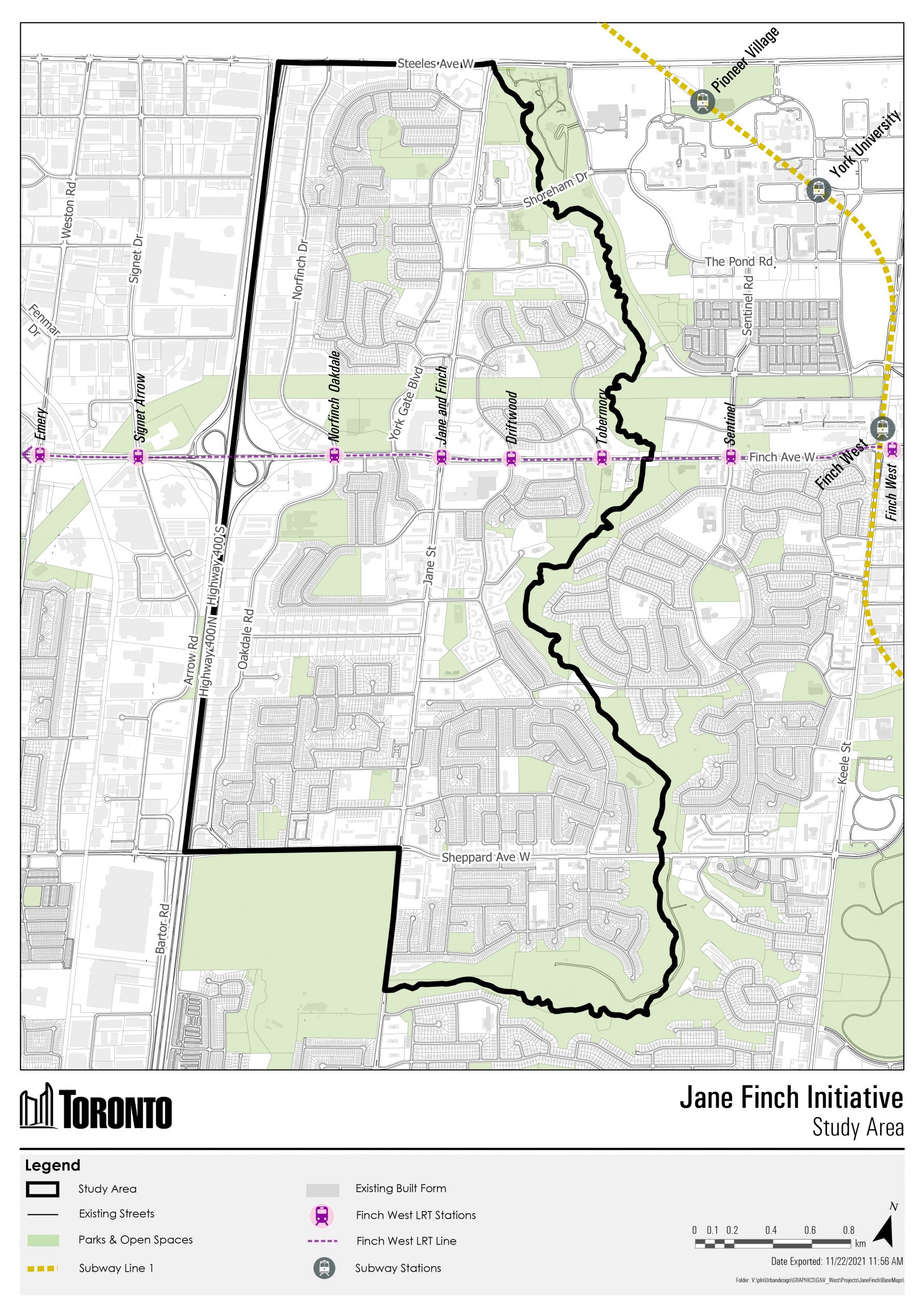
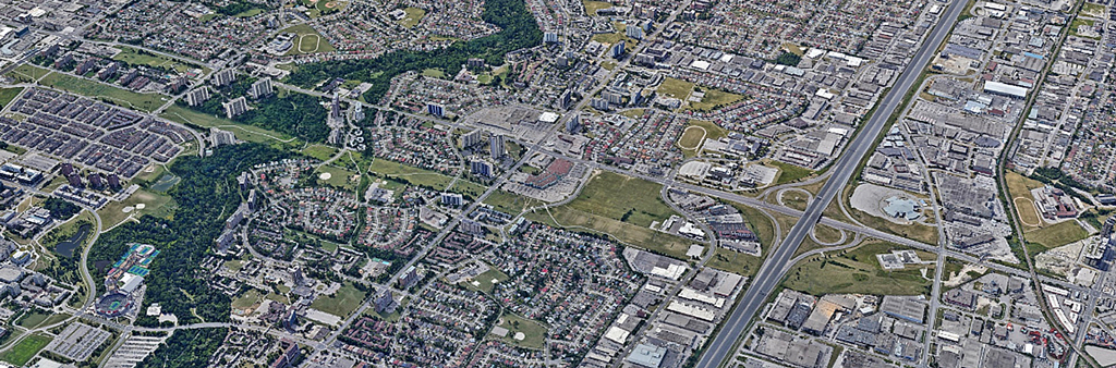
The boundaries of the Jane Finch Initiative study area align with Neighbourhood 24, Black Creek and Neighbourhood 25, Glenfield-Jane Heights. The study area is roughly bounded by Highway 400 to the west, Steeles Avenue West to the north, Black Creek to the east and Sheppard Avenue West and a portion of Black Creek to the south.
The boundaries of the Jane Finch Initiative align with the areas covered by ‘Neighbourhood 24 - Black Creek‘ and ‘Neighbourhood 25 - Glenfield-Jane Heights‘ to capture analysis and community consultations undertaken by the City as part of the Toronto Strong Neighbourhoods Strategy. This study area, which is illustrated in the map above, is roughly bounded by Highway 400 to the west, Steeles Avenue West to the north, Black Creek to the east, and Sheppard Avenue West and a portion of Black Creek to the south.
The boundaries of the secondary plan area are scoped down based on:
The Jane Finch Secondary Plan (OPA 633) is in force and effect as of February 3, 2025, except for the property municipally known as 2775 Jane Street, Toronto, and “Norfinch District” which are subject to appeals to the Ontario Land Tribunal (OLT-24-000833).
At its June 2024 Meeting, City Council adopted the following documents:
Browse reports and summaries from meetings and events that occurred during the planning study.