Connect with diverse stories at 10 City-run museums, now with free general admission.
Nurture your creativity with art classes, exhibits and community events at the City's cultural centres and galleries.
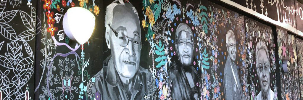
Be inspired by street art, City-owned public art, and privately-owned art in public locations throughout Toronto.
Explore hundreds of exciting year-round events, exhibits and programs at City-run museums, galleries and cultural centres.
Museums and cultural centres provide a unique venue for weddings, birthday parties, film shoots and more.
Take your creative practice to the next level with these unique artist opportunities.
Explore online exhibits from Toronto History Museums and the City of Toronto Archives.
Dozens of high-quality and stimulating camps for children are offered at the museums and cultural centres.
Toronto’s Artist-in-Residence brings their creativity and unique viewpoint to initiatives undertaken by the City.
The Photo Laureate is Toronto’s ambassador for the visual and photographic arts. The position is the first of its kind in Canada.
Toronto's literary ambassador attends events across the city to promote and attract people to the literary world.
Toronto's Youth Poet Laureate elevates the status of poetry and young writers by inspiring and engaging youth to share their stories through written and spoken word.