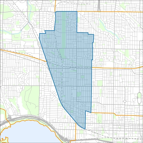
Davenport Profile - 2021 Census
Davenport Profile - 2016 Census
Need assistance reading content? Call 311 or email cityplanning@toronto.ca.
A road classification system designates streets into different groups or classes according to the type of service each group is intended to provide. This is a fundamental tool for urban development and road management. Grouping roads with similar functions can improve transportation planning, road infrastructure design, maintenance, traffic and road operations.
Every street owned by the City of Toronto has been given one of five classifications (with the exception of public laneways).
The City of Toronto will resurface the streets listed below. Our inspection of these roads shows that they need resurfacing and sections of damaged curb and/or sidewalk need to be replaced to bring them to a state of good repair. This project is part of the Council-approved 2026 Capital Works Program to renew aging City roads and sidewalk for current and future needs.
Pre Construction Notice (Dated: January 21, 2026)
All construction notices below are organized by street name.
Basement Flooding Protection Program – Fairbank-Silverthorn Storm System Phase 1: Storm Tunnel and Local Storm Sewers Construction
Basement Flooding Protection Program – Fairbank-Silverthorn Storm System Phase 2: Local Collector Storm Sewers
Basement Flooding Protection Program – Fairbank-Silverthorn Storm System Phase 2: Construction on Earlscourt Avenue
Basement Flooding Protection Program – Fairbank-Silverthorn Storm System Phase 2: Construction on Earlsdale Avenue
Basement Flooding Protection Program – Fairbank-Silverthorn Storm System Phase 2: Construction on Gilbert Avenue and Summit Avenue
Basement Flooding Protection Program – Fairbank-Silverthorn Storm System Phase 2: Construction on Harvie Avenue, Redhill Avenue and Eglinton Avenue West
Basement Flooding Protection Program – Fairbank-Silverthorn Storm System Phase 2: Construction on Oakwood Avenue (from Rogers Road to Holland Park Avenue)
Basement Flooding Protection Program – Fairbank-Silverthorn Storm System Phase 2: Construction on Rowntree Avenue and Chambers Avenue
Brock Avenue Bridge (under Metrolinx Rail) Rehabilitation
Dufferin Street (from Bloor Street West to Geary Avenue) Road Reconstruction and Road Resurfacing
Dupont Street (under Metrolinx Rail) Bridge Rehabilitation
Ford Street (from Davenport to St Clair Avenue West) Road Resurfacing and Major Rehabilitation and Intersection Improvements at Connolly
Habibi Laneway and Lane North Norman West Caledonia Laneway Reconstruction
Havelock Street (from College Street to Bloor Street West) Road Resurfacing
Laneway N St Clair E Cloverdale (from Silverthorn to Cloverdale Road, Laneway Reconstruction
Lisgar Street (from Argyle Street to Afton Avenue) Watermain Replacement and Local Road Resurfacing
Ossington Avenue (from Bloor Street to College Street) Watermain Replacement
Silverthorn Avenue Local Road Resurfacing on Silverthorn Avenue from St. Clair Avenue West to Rockwell Avenue; Cycling Infrastructure Installation on Silverthorn Avenue from St. Clair Avenue West to Rogers Road; Intersection Improvements at Silverthorn Avenue and Rockwell Avenue
St. Clair Avenue West (from 164 Greenlaw Avenue to 1331A St Clair
Avenue West) Sanitary Sewer Replacement
St. Clair Avenue West (under Metrolinx Rail) Bridge Rehabilitation
Talbot Street (from Laughton Avenue to end of street)
If you would like more information about this construction in your neighbourhood, please visit T.O. INview.
Within the Feature Filter:
Then, in the top left search bar:
If you need more information, please call 311.
The City of Toronto ensures that tenants live in safe, well-maintained buildings through RentSafeTO, a bylaw enforcement program. Building owners must comply with the bylaws within the program or face financial penalties.