Expand the drop-down menus below to view the City of Toronto Official Plan Maps.
Maps are current as of the June 2026 consolidation.
While we aim to provide fully accessible content, there is no text alternative available for some of the content on this site. If you require alternate formats or need assistance understanding our maps, drawings, or any other content, please contact City Planning Division at 416-392-8343.
Map 3 Right-of-Way Widths Associated with Existing Major Streets
Map 4 Higher Order Transit Corridors
Map 5 Surface Transit Priority Network
Map 6 Downtown Toronto Urban Growth Centre
Map 6A Downtown Plan and Central Waterfront Secondary Plan Boundaries
Map 7A Identified Views from the Public Realm
Map 7B Identified Views from the Public Realm - Downtown and Central Waterfront
Map 7C Publicly Owned School Lands
Map 8B Local Park Land Provision
Map 8C Local Park Planning Boundaries
Map 9A Natural Heritage System and Contributing Areas
Map 9B Water Resources System - Key Hydrologic Features
Map 9C Water Resource System - Key Hydrologic Areas
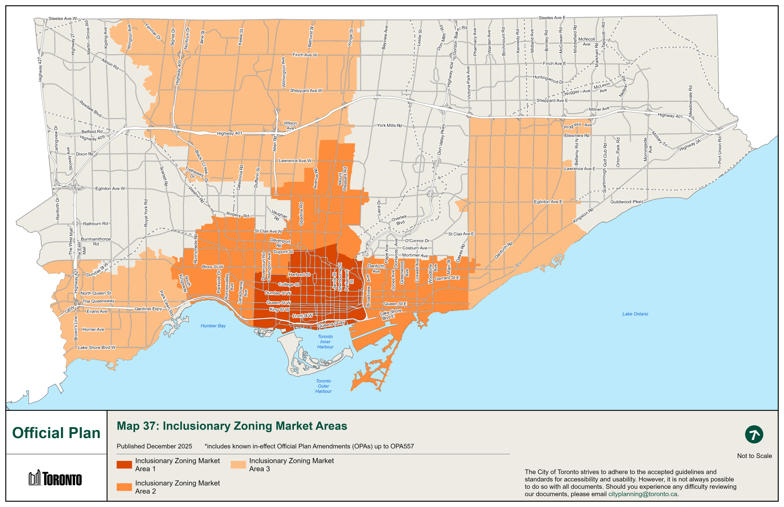
Map 10 Special Policy Areas Key Map
Map 11 Special Policy Areas - Area Specific Maps (Map 1 of 2)
Map 11 Special Policy Areas - Area Specific Maps (Map 2 of 2)
Map 12A Environmentally Significant Areas
Map 12B Provincially Significant Wetlands and Areas of Natural and Scientific Interest
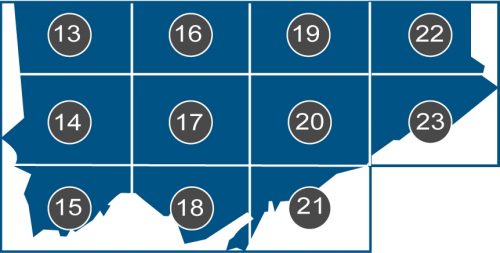
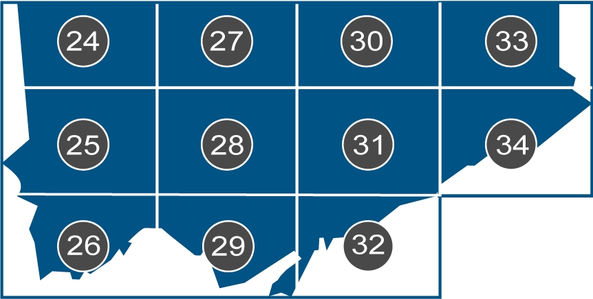
Select the labelled areas A to K on the map to identify the Official Plan land use maps, Secondary Plans, Site and Area Specific Policies (SASPs) maps and Special Policy Areas (SPA) for the selected geographic area.
City Planning collects your personal information under the legal authority of the Planning Act, section 17(15) and (17) and Toronto Official Plan, Chapter 5, section 5.5.1 (b) and 5.5.1 (c)(ii), as implemented by the City of Toronto By-Law 1082-2002 and amended by the City of Toronto By-Law 1038-2008. The information will be used for the purpose of providing information about the Official Plan Map 4 Review and information about the public meetings related to this project. Questions about this collection can be directed to the Program Manager, Policy and Analysis Unit of Transportation Planning, City Planning, City Hall, 100 Queen Street West, 21st Floor, Toronto Ontario, M5H 2N2 or by telephone at 416-392-8698.