

Prior to 2015, the City’s cycling wayfinding signage system was installed to help connect the cycling network and direct people cycling to key destinations, roads and trails. North-south routes were signed as odd numbered routes (1, 3, 5..) and east-west routes were signed as even numbered routes (2, 4, 6…).
In 2015, the City adopted a new cycling wayfinding strategy that recommended replacing the existing numbered routes with a consistent name-based wayfinding standard. This updated system will guide people cycling to their final destination, help them build a better understanding of the city, and advise them on available cycle routes. The project is being rolled out in phases over four areas of the city, beginning in 2022.
These changes are part of the City’s TO360 Wayfinding Strategy that is meant primarily as a pedestrian system, but also includes cycling infrastructure and key destinations.
Expand the accordions below to learn more about each type of sign featured in the City’s cycling wayfinding system.
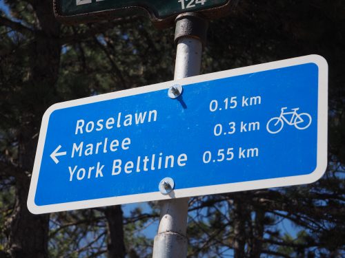 Advance decision signage is placed in advance of key decision points, at a recommended distance of 40 to 50 metres, or a minimum of 35 metres.
The content on advance decision signs includes:
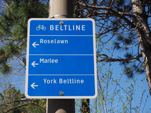 Turning signage is placed on approach to turning points, typically five to ten metres prior to the intersection. Alternatively, they are also placed across the road (e.g. at T and Y junctions).
The content on turning signs includes:
Confirmation signage is placed 20 to 30 metres after a change point, and then again after approximately 400 metres as repeater signs (or sooner if required).
The content on confirmation signs includes:
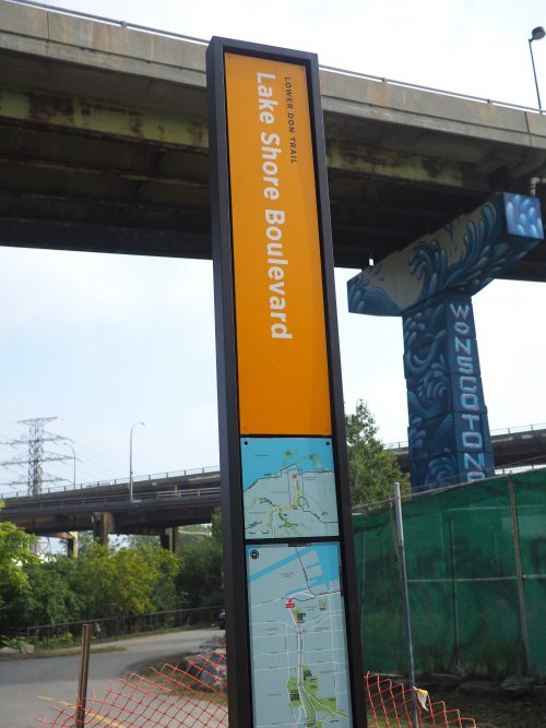
A pilot project consisting of orange pillar signs have been placed along the Lower Don Trail to assist users navigate the area. The Parks & Trails Wayfinding Strategy provides background and information on the two phases of this initiative.
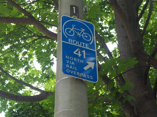
Prior to 2015, the City coded it’s cycling network routes with numbers. North-south routes are signed as odd numbered routes (1, 3, 5..) and east-west routes are signed as even numbered routes (2, 4, 6…). The numbered routes are being upgraded according to the name-based wayfinding standard.