Parkdale-High Park Councillor Office
Parkdale-High Park Profile - 2021 Census
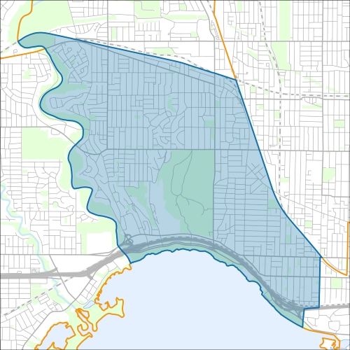
Parkdale-High Park Profile - 2016 Census
Need assistance reading content? Call 311 or email cityplanning@toronto.ca.
A road classification system designates streets into different groups or classes according to the type of service each group is intended to provide. This is a fundamental tool for urban development and road management. Grouping roads with similar functions can improve transportation planning, road infrastructure design, maintenance, traffic and road operations.
Every street owned by the City of Toronto has been given one of five classifications (with the exception of public laneways).
The City of Toronto will resurface the streets listed below. Our inspection of these roads shows that they need resurfacing and sections of damaged curb and/or sidewalk need to be replaced to bring them to a state of good repair. This project is part of the Council-approved 2026 Capital Works Program to renew aging City roads and sidewalk for current and future needs.
Pre-Construction Notice (Dated: January 21, 2026)
All construction notices below are organized by street name.
Baby Point Terrace from #4 Baby Point to #6 Baby Point Terrace
Bloor Street from Doval Road to Indian Road, Combined Sewer Replacement and Laneway Construction
Brock Avenue Bridge (under Metrolinx Rail) Rehabilitation
Dundas Street West (between Sterling Road and Sorauren Avenue) Watermain Abandonment
Dupont Street Bridge (under Metrolinx Rail) Rehabilitation
Evans Avenue (from Colbeck Street to Annette Street) Road Rehabilitation
Kennedy Avenue (from Evelyn Crescent to 397 Kennedy Avenue) Sanitary Sewer Replacement
King Street West, Queen Street West, The Queensway and Roncesvalles Avenue (KQQR) Intersection Reconfiguration
King Street West (between Dufferin Street and Shaw Street) TTC Streetcar Track Renewal and Watermain Replacement
King Street West and Dufferin Street Intersection TTC Streetcar Track Renewal
Maher Avenue Road Rehabilitation (from Runnymede Road to Gilmore Street)
Parkside Drive and Bloor Street West, Sewer Chamber Works
Riverside Drive, Bloor Street West and Brule Terrace Sanitary Forcemain Replacement
Sewer Replacement and Laneway Construction on Laneway north of Bloor Street (from Doval Road to Indian Road)
Sorauren Avenue, Road Resurfacing, Watermain Replacement and Sidewalk replacement (from Dundas Street W and Virtue Street to Queen Street W)
St. Olaves Road, Watermain Cleaning and Relining,
Sunnyside Sewage Pumping Station Construction
Varsity Road, Road Resurfacing
West Toronto Rail Path Bridge (over Bloor Street West) Rehabilitation
Worthington Crescent and Innisfree Court, Watermain Cleaning and Relining
If you would like more information about this construction in your neighbourhood, please visit T.O. INview.
Within the Feature Filter:
Then, in the top left search bar:
If you need more information, please call 311.
The City of Toronto ensures that tenants live in safe, well-maintained buildings through RentSafeTO, a bylaw enforcement program. Building owners must comply with the bylaws within the program or face financial penalties.