To help cyclists navigate Toronto, wayfinding signs have been placed in key locations. These signs help connect the cycling network and direct cyclists to key destinations, roads and trails.
The City also has a TO360 Wayfinding Strategy that is meant primarily as a pedestrian system, but also includes cycling infrastructure and key destinations.
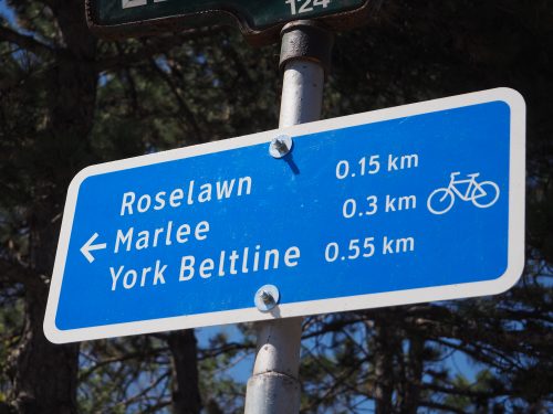 Smaller signs show nearby roads and trails with an included distance.
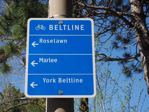 Larger signs are typically at main intersections giving generation directions to different roads and trails.
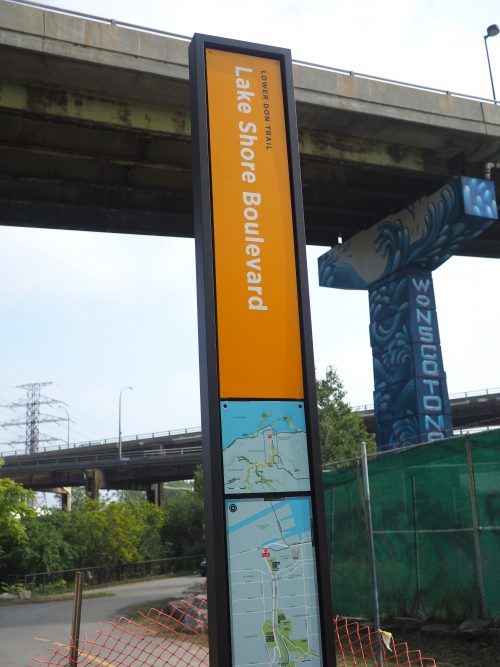
A pilot project consisting of orange pillar signs have been placed along the Lower Don Trail to assist users navigate the area. The Parks & Trails Wayfinding Strategy provides background and information on the two phases of this initiative.
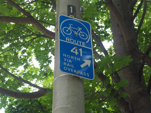
Prior to 2015, the City coded it’s cycling network routes with numbers. North-south routes are signed as odd numbered routes (1, 3, 5..) and east-west routes are signed as even numbered routes (2, 4, 6…). The numbered routes are being upgraded according to the name-based wayfinding standard.