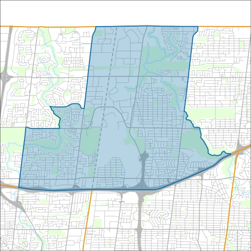
York Centre Profile - 2021 Census
York Centre Profile - 2016 Census
Need assistance reading content? Call 311 or email cityplanning@toronto.ca.
A road classification system designates streets into different groups or classes according to the type of service each group is intended to provide. This is a fundamental tool for urban development and road management. Grouping roads with similar functions can improve transportation planning, road infrastructure design, maintenance, traffic and road operations.
Every street owned by the City of Toronto has been given one of five classifications (with the exception of public laneways).
The City of Toronto will resurface the streets listed below. Our inspection of these roads shows that they need resurfacing and sections of damaged curb and/or sidewalk need to be replaced to bring them to a state of good repair. This project is part of the Council-approved 2026 Capital Works Program to renew aging City roads and sidewalk for current and future needs.
Pre-Construction Notice (Dated: January 21, 2026)
All construction notices below are organized by street name.
Almore Avenue and Yeomans Road – Intersection Closure
Alness Street Road Resurfacing and new Cycle Tracks on Champagne Drive
Basement Flooding Protection Program – Sanitary and Storm Sewer Upgrades on Wilson Avenue and other local roads
Bathurst Street (from Steeles Avenue to Kingsbridge Court) Watermain Replacement, Road Resurfacing and Road Safety Upgrades
Cavotti Crescent Watermain Replacement
Dresden Road, Sunbeam Avenue, Faith Avenue, Model Avenue, Goodwill Avenue, Ansford Avenue (from Wilson Heights Boulevard to Faywood Boulevard) and Faywood Boulevard (from Dresden Road to Ansford Avenue) Watermain Cleaning and Relining
Earl Bales Stormwater Management Pond (south of Sheppard Avenue West and Bathurst Street) Sediment Removal and Maintenance
Elie Wiesel Park, Temporary Walkway Closure
Garratt Boulevard and Regent Road
Grandravine Drive (over Black Creek) Culvert Replacement
Harlock Boulevard (from Danby Avenue to Bainbridge Avenue) Watermain Replacement
Keele Street and Various Streets (from Keele Pumping Station to Sheppard Avenue West) Downsview Transmission Main, Keele Pumping Station and Storm Sewer Upgrades
Midvale Road, Watermain Cleaning and Relining
Rosseau Road (between Laurelcrest Avenue and Invermay Avenue) Watermain Cleaning and Relining
Sentinel Road from Sheppard Avenue to Lamberton Boulevard, Road Reconstruction, Watermain Installation and Installation of Raised Cycle track
Shaftesbury Avenue from Overbrook Place to Kennard Avenue New Sidewalk Installation
Sheppard Avenue West (from Bakersfield Street to Dufferin Street), Chesswood Drive (from Vanley Crescent to Sheppard Avenue West), Steeprock Drive (from Chesswood Drive to Dufferin Street), Lodestar Road (from Steeprock Drive to Rimrock Road), Whitehorse Road (from Steeprock Drive to Rimrock Road) and Rimrock Road (from Whitehorse Road to Dufferin Street) Watermain Cleaning and Relining
St. Regis Crescent, St. Regis Crescent North, Ceramic Road (St. Regis Crescent North to Le Page Court), Ashwarren Road, Tuscan Gate and Easement from Keele Street to Bakersfield Street off Sheppard Avenue – Watermain Cleaning and Relining
Temporary Road Closure Harlock Boulevard at Almore Avenue
York Downs Drive (from Bathurst Street to Sandringham Drive) Watermain Replacement and Sidewalk Construction
If you would like more information about this construction in your neighbourhood, please visit T.O. INview.
Within the Feature Filter:
Then, in the top left search bar:
If you need more information, please call 311.
The City of Toronto ensures that tenants live in safe, well-maintained buildings through RentSafeTO, a bylaw enforcement program. Building owners must comply with the bylaws within the program or face financial penalties.