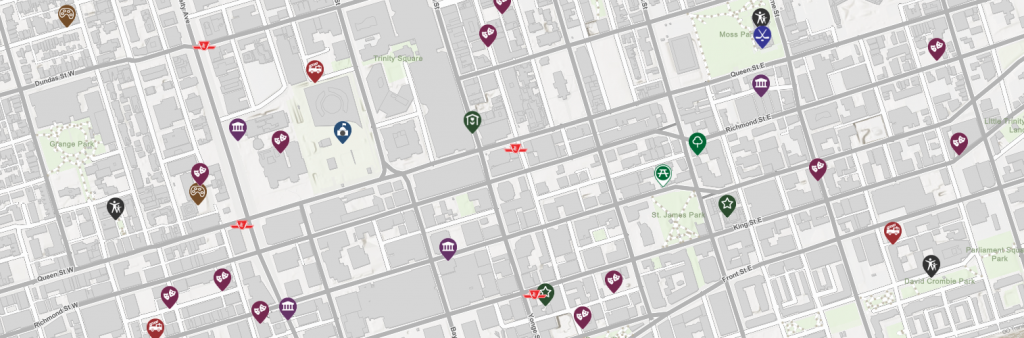
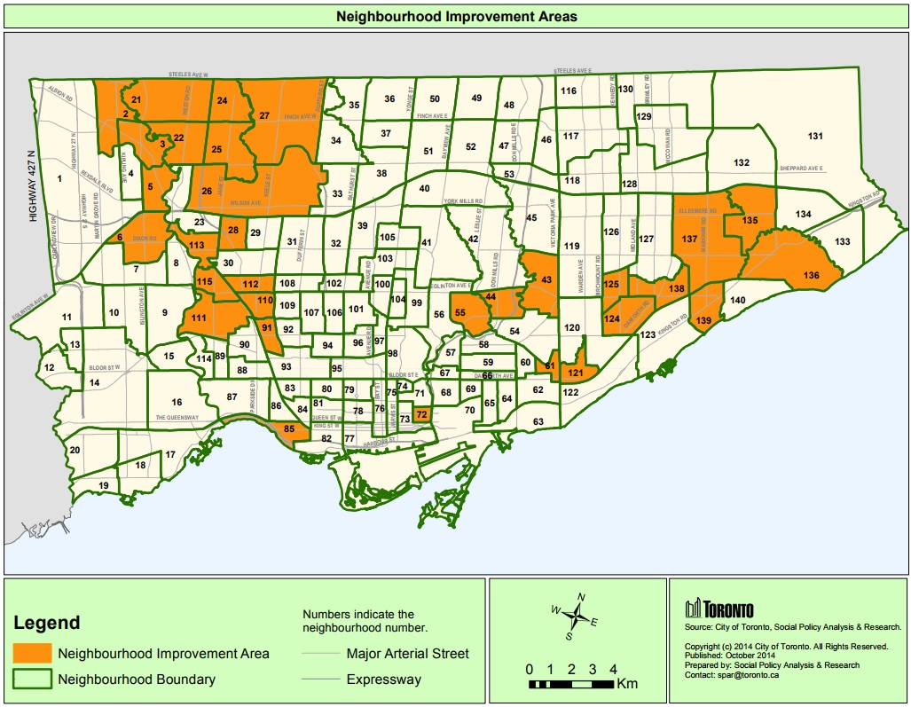
GIS Day provides an international forum for users of geographic information systems (GIS) technology to demonstrate real-world applications that are making a difference in our society.
The Information and Technology division’s Geospatial Competency Centre and internal partners showcased some of the Geographic Information System (GIS) work done at the City last year. GIS enables staff to map and analyze data attached to geographic locations.
Upper Canada College – Upper Canada College
Ryerson – Ryerson University
Jonathon Critchley – Urban GIS Specialist
William Davis – Toronto Star
Parks, Forestry and Recreation
City Planning – Graphics and Visualization
Social Development, Finance and Administration (SDFA)
Major Capital Infrastructure Coordination Office (MCIC)
Geospatial Competency Centre (GCC)